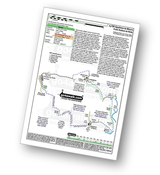
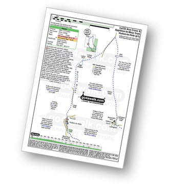
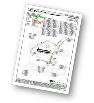
4 easy to follow walk route maps of all grades on OS Explorer Map OL27 North York Moors - Eastern area
Four easy-to-follow hand-crafted printable walk route maps that are wholly on or partly on OS Explorer Map OL27 North York Moors - Eastern area to suit all levels of fitness and ability.
Tap/mouse over a coloured circle (1-3 easy walks, 4-6 moderate walks, 7-9 hard walks) and click to select.
You can use these checkboxes to show only the grades of walk you are interested in:-
Four easy-to-follow walk route maps of all grades on OS Explorer Map OL27 North York Moors - Eastern area in Walk Grade Order
Scroll down the list of walks below & click on each walk title (in blue) to locate it on the map above.
See this list of walks, routes & maps in:
Grade Order |
Length Order |
Time Order |
Walk Number or Start Location Order
NB. To reverse (toggle) this order, click Grade Order again
Route Summary:
Robin Hood's Bay - The Cleveland Way - Cowfiled Hill - Boggle Hole - Stoupe Beck - Stoupe Bank Farm - Stoupebrow Cottage Farm - Ravenscar - Dismantled Railway - Stoupe Brow Farm - Home Farm - Brownside Farm - Howdale Wood - Alison Head Wood - Fyling Old Hall Farm - White House - Fylingthorpe - Robin Hood's Bay
Route Summary:
Hutton-le-Hole - The Lund - Fairy Call Beck - High Cross Plain - Mary Magdalene Well - Lastingham - St Chad's Well - St Cedd's Well - Ings beck - Hagg Wood - Lower Askew - Birk Head - Scarth Wood - Tenterhill End - Appleton Mill Farm - The Tabular Hills Walk - Hamley Lane - Appleton-le-Moors - South Ings Lane (Track) - Ings Balk (Track) - Lingmoor Lane (Track) - Spring Wood - Bottom Fields Lane - Austin Head - Hutton-le-Hole
Route Summary:
Hutton-le-Hole - Lodge Road - Wheat Lund - Hutton Ridge - High Snapes - Loskey Beck - Loskey Ridge - Ana Cross - Spaunton Moor - Spring Heads Turn - Barker Slack - Lastingham Ridge - Lastingham - St Chad's Well - St Cedd's Well - Ings beck - Hagg Wood - Lower Askew - Birk Head - Scarth Wood - Tenterhill End - Appleton Mill Farm - The Tabular Hills Walk - Hamley Lane - Appleton-le-Moors - South Ings Lane (Track) - Ings Balk (Track) - Lingmoor Lane (Track) - Spring Wood - Bottom Fields Lane - Austin Head - Hutton-le-Hole
Route Summary:
Thornton-le-Dale - Hagg House - Howl Dale Wood - Howl Dale - Orchan Dale - Pexton Moor Plantation - Kirkdale Slack - Ellerburn - Thornton-le-Dale
See this list of walks, routes & maps in:
Grade Order |
Length Order |
Time Order |
Walk Number or Start Location Order
NB. To reverse (toggle) this order, click Grade Order again
To contribute to go4awalk.com or to contact us about anything at all - see Talk To Us. For help see Help.
go4awalk.com and go4awalk.co.uk are registered trademarks of TMDH Limited.
Copyright © 2000-2024 TMDH Limited. All rights reserved.
Copyright | Terms & Conditions | Privacy Statement
A - Z
Walks
Home
Log On/Accounts
Photo Gallery
Walk Ideas and Collections
Fell Facts
Places to Stay
Hill Skills
Walking Questions and Answers
Your Stories
News
Competitions
Product Reviews/Gear Tests
Walking Gear Guides
Peaks and Mountains
Peak Bagging
Find New Walking Friends
Camping
GPS Waypoints for Walking
Contents
Walk Search
Talk to us
go4awalk.com Help
Free example walks
Newsletter


