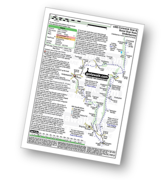
69 easy to follow walk route maps of all grades on OS Explorer Map OL7 The English Lakes - South Eastern area
Sixty-nine easy-to-follow hand-crafted printable walk route maps that are wholly on or partly on OS Explorer Map OL7 The English Lakes - South Eastern area to suit all levels of fitness and ability.
Tap/mouse over a coloured circle (1-3 easy walks, 4-6 moderate walks, 7-9 hard walks) and click to select.
You can use these checkboxes to show only the grades of walk you are interested in:-
Sixty-nine easy-to-follow walk route maps of all grades on OS Explorer Map OL7 The English Lakes - South Eastern area in Walk Grade Order
Scroll down the list of walks below & click on each walk title (in blue) to locate it on the map above.
See this list of walks, routes & maps in:
Grade Order |
Length Order |
Time Order |
Walk Number or Start Location Order
NB. To reverse (toggle) this order, click Grade Order again
Route Summary:
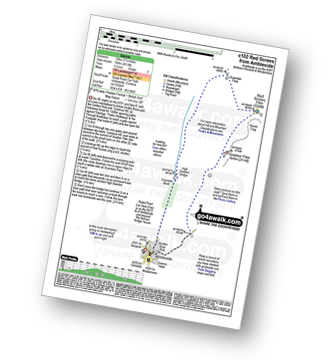
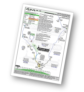
Ambleside - Snarker Pike - Red Screes - Scandale Pass - High Sweden Bridge - Ambleside
Route Summary:
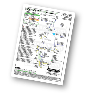
Windermere - Orrest Head - Moorhowe - Dubbs Road - Garburn Road - Longmire Road - Far Orrest Farm - Orrest Head - Windermere
Route Summary:
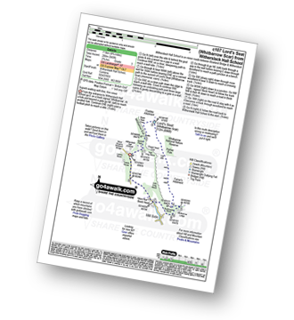
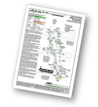
Witherslack Hall School - Black Yews Scar - Flodder Allotment - Lord's Seat (Whitbarrow Scar) - Farrar's Allotment - Whitbarrow Scar - Buckhouse Wood - Beck Head (Witherslack) - Witherslack Hall School
Route Summary:
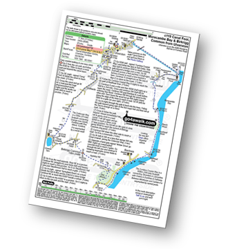
Ulverston - Ulverston Canal - Canal Foot - The Cumbria Coastal Way - Hammerside Point - Salt Cotes - Sandhall - Beach Wood - Morecambe Bay - Conishead Bank - Wadhead Scar - Bardsea - Ulverston Sands - Sea Wood - Birkrigg Stone Circle - Birkrigg Common - Great Unswick - Urswick Tarn - The Cistercian Way - Croftlands - Swarthmoor Hall - Kilner Park - Levy Beck - Ulverston
Route Summary:
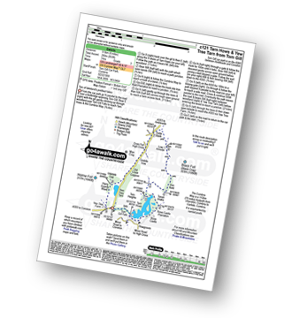
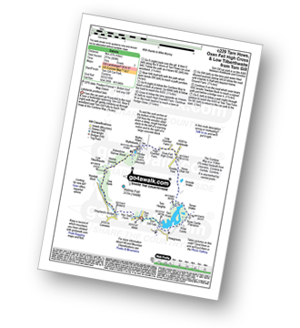
Tom Gill - Tom Gill Waterfall - Tarn Hows - Rose Castle Plantation - Torver Intake - The Cumbria Way - Tom Heights - Iron Keld - Low Arnside - The Cumbria Way - Oxen Fell High Cross - Man Crag - Yew Tree Tarn - Harry Guards Wood - Yew Tree Farm - Glen Mary Bridge - Tom Gill
Route Summary:
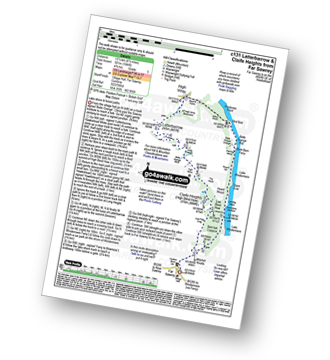
Far Sawrey - Mitchell Knotts - Low Pate Crag - Claife Heights (High Blind How) - The Heald - High Moss - Belle Grange Beck - Long Height - Latterbarrow - High Wray - Red Nap Car Park - Lake Windermere - Belle Grange Bay - Bark Barn Ferry - Slape Scar - Strawberry Gardens - Far Sawrey
Route Summary:
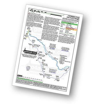
Huck's Bridge - Ashstead Fell - Mabbin Crag - Castle Fell - Whinfell Beacon - Low Borrowdale - Borrow Beck - High Borrowdale - Borrowdale - Huck's Bridge
Route Summary:
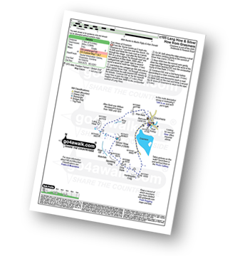
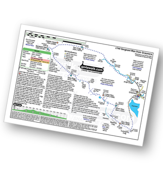
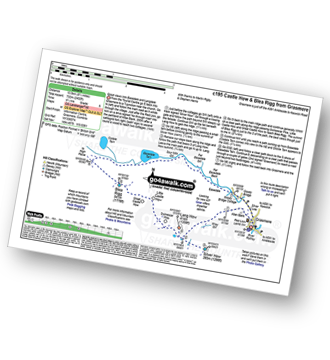
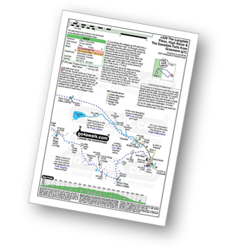
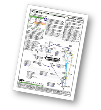
Grasmere - Sour Milk Gill - Sourmilk Gill Falls - Tarn Crag (Easedale) - Sergeant Man - Blea Rigg - Great Castle How - Little Castle How - Raw Pike - Swinescar Pike - Lang How - Silver How - Spedding Crag - Dow Bank - Huntingstile Crag - Grasmere
Route Summary:
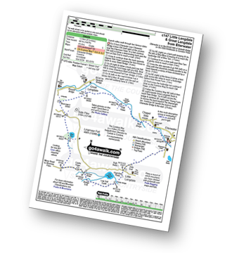
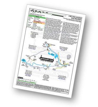
Elterwater - Elterwater Bridge - Little Langdale - Little Langdale Tarn - Bridge End - Fell Foot Bridge - Castle Howe - Blea Tarn (Langdale) - Great Langdale - Oak Howe - Chapel Stile - Elterwater
Route Summary:
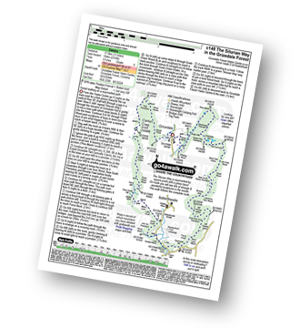
Grizedale Forest Visitor Centre - Silurian Way - Priest Wood - Ridding Wood - Braithwaite Plantation - Potato Peg Plantation - Grisedale Tarn - The Connob - Low Scar Wood - Beck Side Intake - Great Wood - New South Wales Plantation - Breasty Haw - Lawrence Scar Wood - Dale Park Scar - Blind Lane Wood - Force Knott - Swainsley Hill - Force Beck - Farce Falls - Low Bowkerstead Hob Gill Plantation - Satterthwaite - Scale Green Wood - Scale Green Intake - Carron Crag - Park Plantation - Broad Piece - Grizedale Forest Visitor Centre
Route Summary:
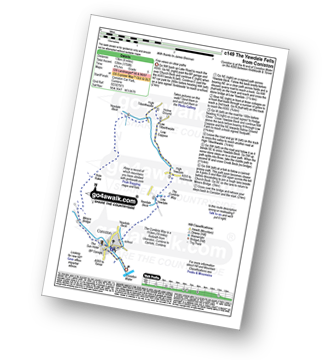
Coniston - The Cumbria Way - Low Yewdale - Yewdale Beck - High Yewdale - Yew Band - Low Tilberthwaite - High Tilberthwaite - Low Coppice - Tilberthwaite Gill - Crook Beck - Hole Rake - Miners Bridge - Church Beck - Coniston
Route Summary:
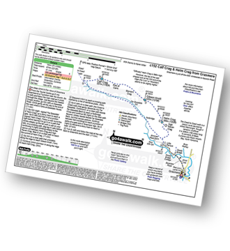
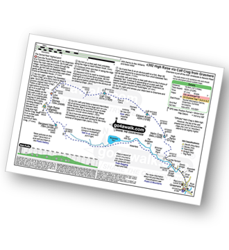
Grasmere - Goody Bridge - High Raven Crag - Helm Crag - The Lion and The Lamb - The Howitzer - Gibson Knott - Calf Crag - Wainwright's Coast to Coast Walk - Brownrigg Moss - Moor Moss - Far Easdale Gill - Goody Bridge - Grasmere
Route Summary:
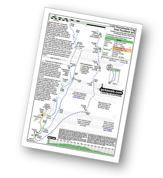
Troutbeck Bridge - Garburn Pass - Yoke - Ill Bell - Froswick - Thornthwaite Crag - Stony Cove Pike (Caudale Moor) - Doup Crag - Trout Beck - Troutbeck Tongue - Hagg Gill - Lowther Brow - Long Green Head - Limefitt Campsite - Troutbeck - Troutbeck Bridge
Route Summary:
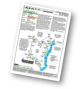
Far Sawrey - Mitchell Knotts - Fellborough - Lake Windermere Shore - Rawlinson Nab - Low Cunsey Farm - Cunsey Wood - The Forge - Great Ore Gate - Cunsey Beck - Eel House Bridge - Dub How Farm - Near Sawrey - Hill Top (former Home of Beatrix Potter) - Wilfin Beck - Far Sawrey
Route Summary:
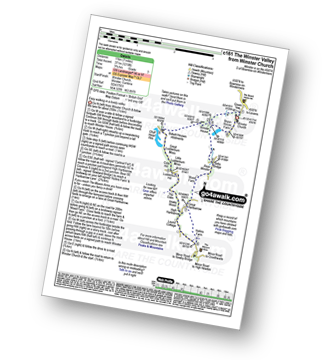
Winster Church - Winster House - Birkett Houses Allotments - Ghyll Head Reservoir - Great Ludderburn Moss - Little Ludderburn Moss - Ludderburn Hill - The Oaks - Intake Wood - High Hartbaroow - Lound Cottage - Strawberry Bank - Hollins Farm - Great Hartbarrow - Wood Farm - River Winster - Bryan House Farm - Winster Church
Route Summary:
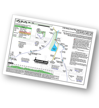
Cow Bridge Car Park - Brothers Water - Hartsop - Hartsop Dodd - Caudale Moor - Stony Cove Pike (Caudale Moor) - Caudale Head - Pike How - St Raven's Edge - The Kirkstone Pass - Red Screes - Smallthwaite Band - Middle Dodd - Scandale Pass - Little Hart Crag - High Hartsop Dodd - Little Hart Crag - Scandale Head - Dove Crag - Hart Crag - Blake Brow - Hartsop Above How - Hoggill Brow - Gale Crag - Bleaberry Knott - Cockley How - Cow Bridge
Route Summary:
Elterwater - The Cumbria Way - Elter Water - Skelwith Force - River Brathay - Skelwith Bridge - Low Park - High Park - High Colwith - Colwith Force - Stang End - Little Langdale - Slater Bridge - Little Langdale Tarn - Dale End - Elterwater
Route Summary:
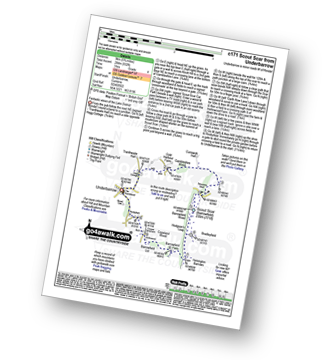
Underbarrow - Hagg Cottage - Gambleshire Lane - Gambleshire Lane - Cunswick Fell - Scout Scar (Barrowfield) - Hodgeson's Leap - Bradleyfield - Helsington Barrows - Barrowfield Farm - Barrowfield Lot - Copeland Wood - Hollinwood - Cooper Tenement - Rockyfield - Underbarrow
Route Summary:
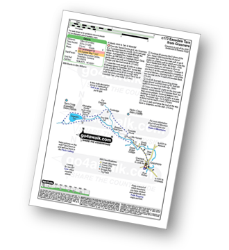
Grasmere - Goody Bridge - Easedale Beck - Sourmilk Gill - Brinhowe Crag - Easedale - Sourmilk Falls - Easedale Tarn - Far Easedale Gill - Stythwaite Steps - Grasmere
Route Summary:
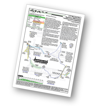
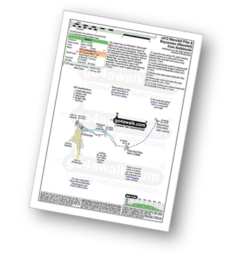
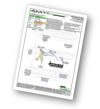
Ambleside - Stockghyll Force - Wansfell Pike - Baystones (Wansfell) - The Hundreds - Nanny Lane - Troutbeck - Robin Lane - High Skelghyll Farm - Skelghyll Wood - Jenkin Crag - Ambleside
Route Summary:
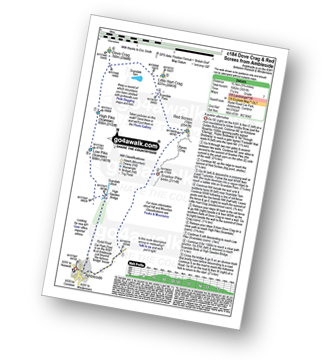
Ambleside - Snarker Pike - Red Screes - Scandale Pass - Little Hart Crag - Dove Crag - High Pike (Scandale) - Low Pike (Scandale) - High Sweden Bridge - Ambleside
Route Summary:
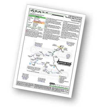
Ings - High Fairbank - The Dales Way - Crag House Farm - Outrun Nook - Hag End Farm - School Knott - Schoolknott Plantation - Whasdike Farm - Ings
Route Summary:
Kendal - Kendal Fell - Kettlewell Crag - Cunswick Fell - Cunswick Scar - Scout Scar (Barrowfield) - Helsington Barrows - Bradleyfield - Brigsteer Road - Larch How - Kendal
Route Summary:
Grasmere - Castle How - Blea Rigg - Easedale Tarn - Sour Milk Gill - Easedale - Goody Bridge - Grasmere
Route Summary:
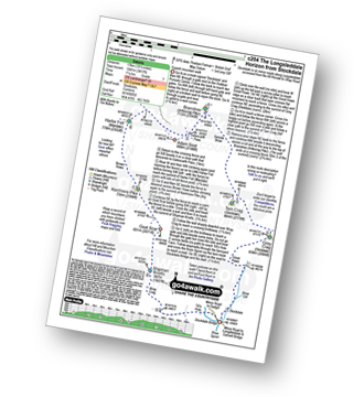
Stockdale - Sadgill Bridge - Stockdale Beck - Great Howe - Grey Crag (Sleddale) - Tarn Crag (Sleddale) - Sleddale Fell - Selside Brow - Branstree (Artlecrag Pike) - Gatescarth Pass - Adam Seat - Harter Fell (Mardale) - Kentmere Pike - Goat Scar - Shipman Knotts - Wray Crag - Stockdale
Route Summary:
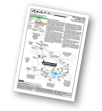
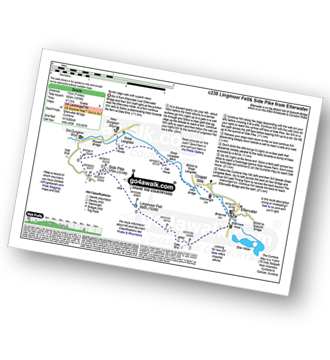
Elterwater - Blea Tarn (Langdale) - Side Pike - Fat Man's Agony (or Fat Man's Struggle) - Lingmoor Fell - Dale End - Birk Howe - Slater Bridge - Little Langdale Tarn - Bridge End - Fell Foot Bridge - Castle Howe - Blea Tarn (Langdale) - Elterwater
Route Summary:
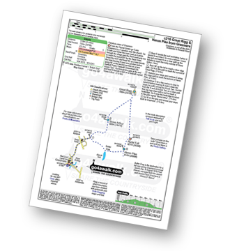
Grasmere - River Rothay - Grasmere (A591) - Stone Arthur - Great Rigg - Rydal Fell (Heron Pike North Top) - Heron Pike - Butter Crag - Alcock Tarn - Brackenfell - Dove Cottage - Grasmere (A591) - Grasmere
Route Summary:
Tom Gill - Tom Gill Waterfall - Tarn Hows - Rose Castle Plantation - Torver Intake - The Cumbria Way - Tom Heights - Arnside Intake - Stone Chair Hill - Griddle How - Oxen Fell High Cross - High Oxenfell Farm - Wythe Howe - Wythebank - Hodge Close Quarry - Bakestone Barrow Wood - Holme Ground - Low Tilberthwaite - Yew Bank - Shepherd's Bridge - Yew Tree Farm - Glen Mary Bridge - Tom Gill
Route Summary:
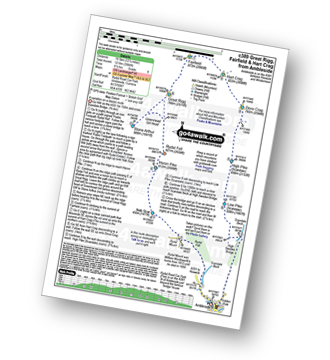
Ambleside - Rydal - Nab Scar - Heron Pike - Rydal Fell (Heron Pike North Top) - Great Rigg - Fairfield - Rydal Head - Hart Crag - Dove Crag - Little Hart Crag - Scandale Pass - Red Screes - Snarker Pike - Ambleside
Route Summary:
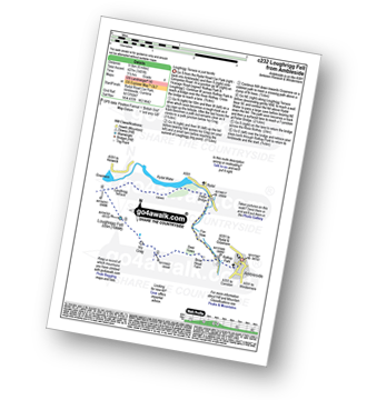
Ambleside - Rothay Park - Ivy Fell - Loughrigg Fell - Loughrigg Terrace - Rydal Water - Loughrigg Caves - River Rothay - Pelter Bridge - Ambleside
Route Summary:
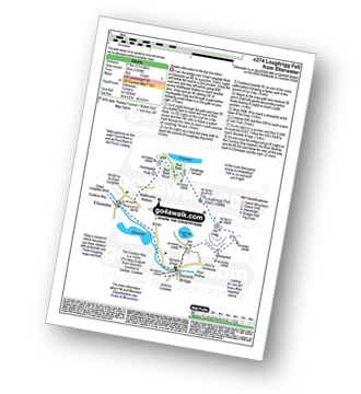
Elterwater - Elterwater Bridge - Dale End - Lingmoor Fell - Fat Man's Agony (or Fat Man's Struggle) - Side Pike - Great Langdale - Side House Farm - The Cumbria Way - Oak Howe - Chapel Stile - Elterwater Bridge - Elterwater
Route Summary:
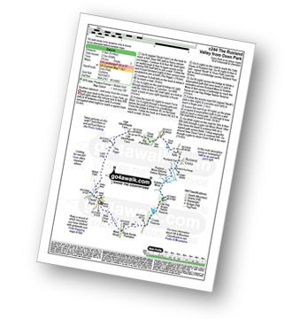
Oxen Park - Furness - Abbot Park - Lord Ling - The Riggs - High Ickenthwaite - Low Ickenthwaite - Big Plantation - Glass Knott - The Syke - Rusland Cross - Rusland Hall - Rusland Moss Nature Reserve - Hulleter Moss - Low Hay Bridge Nature Reserve - Crooks Pastures - Black Knotts Plantation - Moss Wood - Oxen Park
Route Summary:
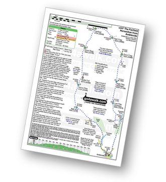
Ambleside - Rydal - Nab Scar - Heron Pike - Rydal Fell (Heron Pike North Top) - Great Rigg - Fairfield - Rydal Head - Hart Crag - Dove Crag - High Pike (Scandale) - Low Pike (Scandale) - High Sweden Bridge - High Sweden Coppice - Ambleside
Route Summary:
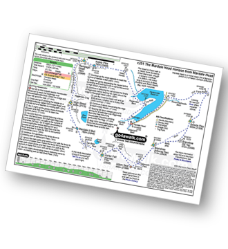
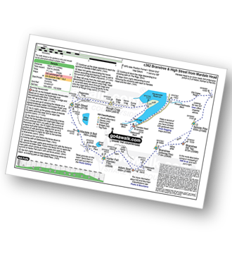
Mardale Head - Haweswater - Rowantreethwaite Beck - Old Corpse Road - Selside Pike - Branstree (North East Top) - Branstree (Artlecrag Pike) - Gatescarth Pass - Adam Seat - Harter Fell (Mardale) - Nan Bield Pass - Mardale Ill Bell - High Street - Riggindale - Rampsgill Head - Wainwright's Coast to Coast Walk - Kidsty Pike - Kidsty Howes - Bowderthaite Bridge - The Rigg - Mardale Head
Route Summary:
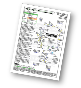
Windermere - Ellery Woods - Orrest Head - Near Orrest Farm - Mislet Farm - Heaning Farm - Blackmoss Farm - School Knott Plantation - School Knott - The Dales Way - High Cleabarrow Farm - Matson Ground - Heaththwaite Manor - Windermere
Route Summary:
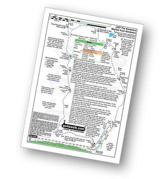
Kentmere - Garburn Pass - Yoke - Ill Bell - Froswick - Thornthwaite Crag - Mardale Ill Bell - Nan Bield Pass - Harter Fell (Mardale) - Kentmere Pike - Brookstones - Kentmere
Route Summary:
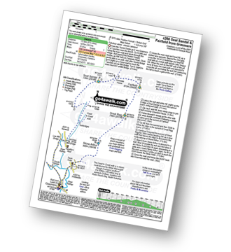
Grasmere - Wainwright's Coast to Coast Walk - Mill Bridge - Little Tongue - Seat Sandal - Grisedale Tarn - Fairfield - Rydal Head - Great Rigg - Stone Arthur - Grasmere
Route Summary:
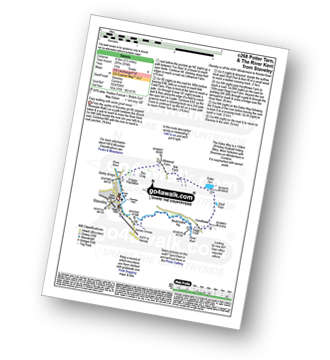
Staveley - Barley Bridge - Craggy Plantation - Spy Crag - Littlewood Farm - Birk Field Farm - Potter Tarn - Ghyll Pool - Hundhowe - Hagg Foot - The River Kent - The Dales Way - Beckmickle Ing - Staveley
Route Summary:
Elterwater - Walthwaite Common - Huntingstile Crag - Red Bank Wood - Loughrigg Terrace - Loughrigg Fell - Ivy Crag - Loughrigg Tarn - Tarn Foot - Skelwith Bridge - River Brathay - Skelwith Force - The Cumbria Way - Elter Water - Elterwater
Route Summary:
Mardale Head - Haweswater Reservoir - The Rigg - Dudderwick - Swine Crag (Riggindale) - Heron Crag (Riggindale) - Rough Crag (Riggindale) - Caspel Gate - Riggindale Crag - Long Stile - High Street - Mardale Ill Bell - Nan Bield Pass - Harter Fell (Mardale) - Adam Seat - Gatescarth Pass - Mardale Head
Route Summary:
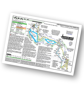
Ambleside - Scandale Beck - Rydal Park - Rydal Hall - Rydal - Rydal Mount - Rydal Water - Coffin Route - Dove Cottage - Grasmere Village - Silverhowe - The Lea - Grasmere - Red Bank - Rydal Cave - Jobson Close - Rough Intake - Pelter Bridge - Foxghyll - River Rothay - Rothay Park - Ambleside
Route Summary:
Grasmere - Goody Bridge - Ghyll Foot Farm - Green Burn - Greenburn Bottom - Contra Breast - Dead Pike - Steel Fell (Dead Pike) - Brownrigg Moss - Calf Crag - Gibson Knott - Helm Crag - The Lion and The Lamb - The Howitzer - High Raven Crag - Grasmere
Route Summary:
Grasmere - Goody Bridge - High Raven Crag - Helm Crag - The Lion and The Lamb - The Howitzer - Gibson Knott - Calf Crag - Brownrigg Moss - Greenup Edge - High Raise (Langdale) - Sergeant Man - Belles Knott - Coledale Tarn - Easedale Tarn - Sour Milk Gill - Easedale - Grasmere
Route Summary:
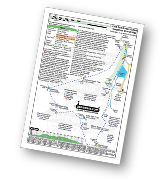
Cow Bridge Car Park - Brothers Water - Hartsop Hall - Kirkstone Beck - Caiston Beck - Middle Dodd - Red Screes - Scandale Pass - Little Hart Crag - Dove Crag - Hart Crag - Blake Brow - Hartsop Above How - Hoggill Brow - Gale Crag - Bleaberry Knott - Cockley How - Cow Bridge
Route Summary:
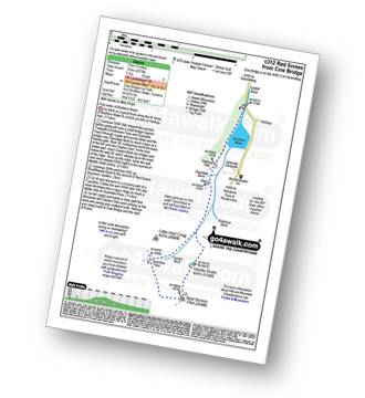
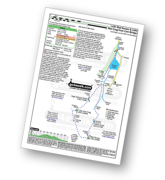
Cow Bridge - Brothers Water - Hartsop Hall - Kirkstone Beck - Caiston Beck - Middle Dodd - Red Screes - Scandale Pass - Caiston Beck - Brothers Water.
Route Summary:
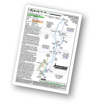
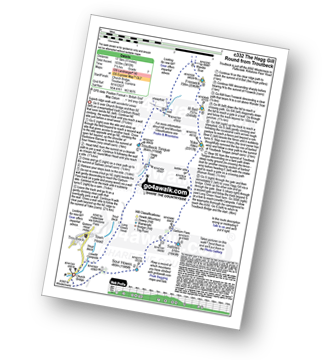
Troutbeck Bridge - Troutbeck - Limefitt Holiday Park - Long Green Head - Ing Bridge - Troutbeck Park - Park Fell Head - Trout Beck - Troutbeck Tongue - Hagg Gill - Lowther Brow - Long Green Head - Limefitt Holiday Park - Troutbeck - Troutbeck Bridge
Route Summary:
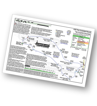
Demings Moss - Shap - Whatshaw Common - Little Yarlside - Great Yarlside - Harrop Pike - Grey Crag (Sleddale) - Lord's Seat (Crookdale) - Robin Hood (Crookdale) - High House Bank - Demings Moss - Shap.
Route Summary:
Troutbeck Bridge - Garburn Road - Backstone Barrow - Sour Howes - Sallows - Garburn Pass - Yoke - Ill Bell - Froswick - Wanfer Crag - Hagg Gill - Trout Beck - Troutbeck Tongue - Lowther Brow - Long Green Head - Limefitt Campsite - Troutbeck - Troutbeck Bridge
Route Summary:
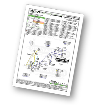
Troutbeck Bridge - Garburn Road - Backstone Barrow - Sour Howes - Sallows - Garburn Pass - Troutbeck - Troutbeck Bridge
Route Summary:
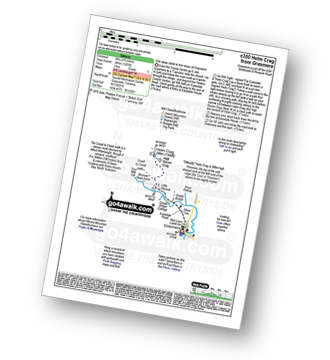
Grasmere - Goody Bridge - Wainwright's Coast to Coast Walk - Easedale House - High Raven Crag - Helm Crag - The Lion and The Lamb - The Howitzer - Goody Bridge - Grasmere
Route Summary:
Cow Bridge - Brothers Water - Hartsop Hall - Kirkstone Beck - Caiston Beck - Middle Dodd - Red Screes - Scandale Pass - Little Hart Crag - High Hartsop Dodd - Caiston Beck - Cow Bridge - Brothers Water.
Route Summary:
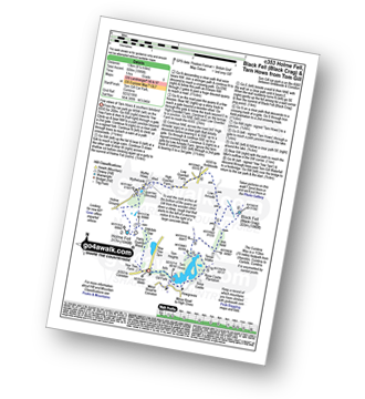
Tom Gill Car Park - Glen Mary Bridge - Yew Tree Farm - Yew Tree Farm - Harry Guards Wood - Uskdale Gap - Holme Fell - Holme Hill Wood - Low Tilberthwaite - Hodge Close Quarry - High Tilberthwaite - Wythebank - High Oxenfell Farm - Low Arnside - Black Fell (Black Crag) - Iron Keld - Tarn Hows - Tom Gill Waterfalls - Tom Gill Car Park.
Route Summary:
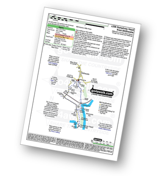
Allithwaite - Wraysholme Tower - The Cumbria Coastal Way - Humphrey Head - Humphrey Head Wood - Wyke Farm - Kirkhead End - Allithwaite
Route Summary:
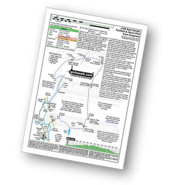
Grasmere - Mill Bridge - Little Tongue - Seat Sandal - Grisedale Tarn - Fairfield - Rydal Head - Great Rigg - Rydal Fell (Heron Pike North Top) - Heron Pike - Alcock Tarn - Grasmere
Route Summary:
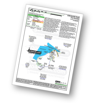
Arnside (Morecambe Bay) - Red Hills Wood - Arnside Knott - Copridding Wood - Grubbins Wood - Morecambe Bay - The Cumbria Coastal Way - Arnside (Morecambe Bay)
Route Summary:
Mardale Head - Haweswater Reservoir - Rowantreethwaite Beck - Old Corpse Road - Selside Pike - Branstree (North East Top) - Branstree (Artlecrag Pike) - Gatescarth Pass - Adam Seat - Harter Fell (Mardale) - Nan Bield Pass - Mardale Ill Bell - High Street - Riggindale Crag - Caspel Gate - Rough Crag (Riggindale) - Eagle Crag (Riggindale) - Heron Crag (Riggindale) - Swine Crag (Riggindale) - Dudderwick - The Rigg - Mardale Head
Route Summary:
Ambleside - Rydal - Nab Scar - Heron Pike - Rydal Fell (Heron Pike North Top) - Greenhead Gill Head - Stone Arthur - Great Rigg - Fairfield - Rydal Head - Hart Crag - Dove Crag - High Pike (Scandale) - Low Pike (Scandale) - High Sweden Bridge - High Sweden Coppice - Ambleside
Route Summary:
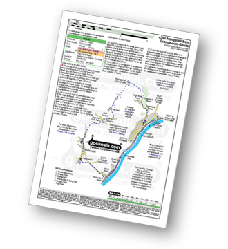
Grange-over-Sands - Eggerslack Wood - Hampsfell - Fell End - High Fell Gate Farm - Allithwaite - The Cumbria Coastal Way - Kents Bank - Morecambe Bay - Grange-over-Sands
Route Summary:
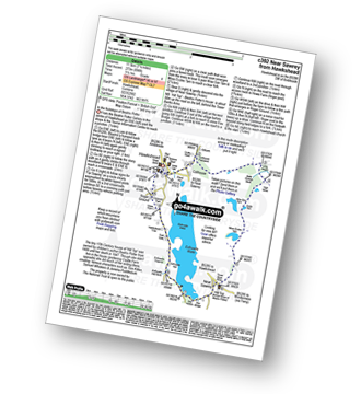
Hawkshead - Colthouse - Long Height - Holland Band Planation - Wise Een Tarn - Scale Tarn - Moss Eccles Tarn - Stones Lane - Near Sawrey - Hill Top (former Home of Beatrix Potter) - Ees Bridge - Esthwaite Tarn - Howe Farm - Roger Ground - Hawkshead
Route Summary:
Ambleside - Stockghyll Force - Wansfell Pike - Baystones (Wansfell) - Wansfell Pike - Stockghyll Force - Ambleside
Route Summary:
Grasmere - Allan Bank - Wray Gill - Silver How - Lang How - Sinescar Pike - Little Castle How - Great Castle How - Blea Rigg - Sergeant Man - Thunacar Knott - Pavey Ark - Harrison Stickle - Loft Crag - Pike of Stickle (Pike O' Stickle) - High Raise (Langdale) - Codale Head - Tarn Crag (Easedale) - Far Easedale Gill - Sourmilk Falls - Far Easedale Beck - Goody Bridge - Grasmere
Route Summary:
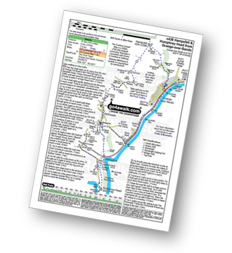
Grange-over-Sands - Eggerslack Wood - Hampsfell - Fell End - High Fell Gate Farm - Allithwaite - Wraysholme Tower - The Cumbria Coastal Way - Humphrey Head - Humphrey Head Wood - Wyke Farm - Kirkhead End - Allithwaite - Kents Bank - Morecambe Bay - Grange-over-Sands
Route Summary:
Mill Side - Buckhouse Wood - Farrar's Allotment - Pether Pots. Whitbarrow National Nature Reserve - Lord's Seat (Whitbarrow Scar) - Flodder Allotment - Bell Rake - High Park Wood - Black Yew Scars - Witherslack Hall School - Chapel Head Scar - High Crag Wood - Low Crag Wood - Beck Head - Mill Side
Route Summary:
Kentmere - Ullthwaite Bridge - Croft Head - Meadowplatts Plantation - Capple Howe - Sour Howes - Sallows - Garburn Pass - Crabtree Brow - Kentmere - kentmere Hall - Hall Wood - Kentmere Plantation - Sawmill Cottage - Ullthwaite Bridge - Kentmere
Route Summary:
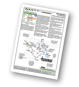
Kentmere - Cornclose Lane (track) - Rasp Howe - Skeggles Water - Cocklaw Fell - Green Quarter Fell - Hollow Moor (Green Quarter) - Hollow Moor (North East Top) - Kentmere
Route Summary:
Underbarrow - Hagg Cottage - Gambleshire Lane - Gambleshire Lane - Cunswick Fell - Cunswick Scar - Scout Scar (Barrowfield) - Hodgeson's Leap - Bradleyfield - Helsington Barrows - Windy Howe - Helsington Church - Honeybee Wood - Barrowfield Farm - Barrowfield Lot - Copeland Wood - Hollinwood - Cooper Tenement - Rockyfield - Underbarrow
See this list of walks, routes & maps in:
Grade Order |
Length Order |
Time Order |
Walk Number or Start Location Order
NB. To reverse (toggle) this order, click Grade Order again
To contribute to go4awalk.com or to contact us about anything at all - see Talk To Us. For help see Help.
go4awalk.com and go4awalk.co.uk are registered trademarks of TMDH Limited.
Copyright © 2000-2024 TMDH Limited. All rights reserved.
Copyright | Terms & Conditions | Privacy Statement
A - Z
Walks
Home
Log On/Accounts
Photo Gallery
Walk Ideas and Collections
Fell Facts
Places to Stay
Hill Skills
Walking Questions and Answers
Your Stories
News
Competitions
Product Reviews/Gear Tests
Walking Gear Guides
Peaks and Mountains
Peak Bagging
Find New Walking Friends
Camping
GPS Waypoints for Walking
Contents
Walk Search
Talk to us
go4awalk.com Help
Free example walks
Newsletter

