Birchen Edge Car Park in the Peak District
Easy-to-follow, hand crafted, route maps for walks that start, or go through, Birchen Edge Car Park in the Peak District
Details of refreshments, pubs & parking are included on each Birchen Edge Car Park walk description.

   |
Vital Statistics:
| Length: | 5.75 miles (9 km) |
| Ascent: | 890 ft (271 m) |
| Time: | 3 hrs |
| Grade: |  |
Walk route map pdf
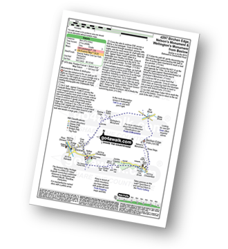
Detailed walk route map PDF
complete with GPS Waypoints
Route Summary:
Baslow - Bar Brook - The Cannon Kissing Gate - Chatsworth Park - Jubilee Rock - Jumble Coppice - Heathy Lea Brook - Robin Hood (Baslow) - Birchen Edge Car Park - Three Ships - Nelson's Monument (Birchen Edge) - Birchen Edge - Eaglestone Flat - Wellington's Monument - Eagle Stone - Over End - Baslow


|
Vital Statistics:
| Length: | 5 miles (8 km) |
| Ascent: | 607 ft (185 m) |
| Time: | 2½ hrs |
| Grade: | |
Walk route map pdf
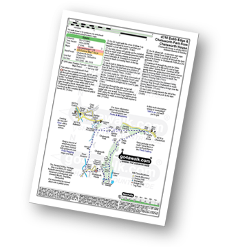
Detailed walk route map PDF
complete with GPS Waypoints
Route Summary:
Chatsworth House - Stand Wood Ornamental Waterfall - Chatsworth Elizabethan Hunting Tower - Dobb Edge - Robin Hood (Baslow) - Birchen Edge Car Park - Jumble Coppice - Jubilee Rock - Chatsworth Park - The Cannon Kissing Gate - Baslow - The Derwent Valley Heritage Way - Chatsworth House

|
Vital Statistics:
| Length: | 6.25 miles (10 km) |
| Ascent: | 1,103 ft (336 m) |
| Time: | 3½ hrs |
| Grade: |  |
Walk route map pdf

Detailed walk route map PDF
complete with GPS Waypoints
Route Summary:
Birchen Edge Car Park - Jumble Coppice - Three Men - Cupola Cottage - Jack Flat - Wellington's Monument - Curbar Gap - Baslow Edge - Eagle Stone - Eaglestone Flat - Birchen Edge - Nelson's Monument (Birchen Edge) - Three Ships - Birchen Edge Car Park

|
Vital Statistics:
| Length: | 11.75 miles (19 km) |
| Ascent: | 1,559 ft (475 m) |
| Time: | 5.75 hrs |
| Grade: |  |
Walk route map pdf
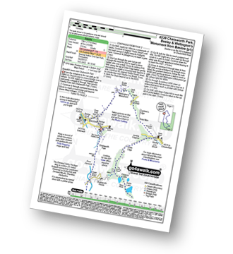
Detailed walk route map PDF
complete with GPS Waypoints
Route Summary:
Baslow - The Cannon Kissing Gate - Chatsworth Park - Queen Mary's Bower - Chatsworth House - River Derwent - Calton Lees - Beeley Lodge - Beeley - Beeley Plantation - Hell Bank Plantation - Ravvut Warren - Stand Wood - Swiss Lake - Emperor Lake - Elizabethan Hunting Lodge - Dobb Edge - Heathy Lea Brook - Robin Hood (Baslow) - Birchen Edge Car Park - Three Men - Cupola Cottage - Jack Flat - Wellington's Monument - Eagle Stone - Baslow
See more easy-to-follow circular walks in the Peak District
See more easy-to-follow circular walks in Derbyshire