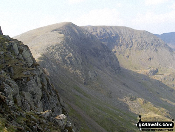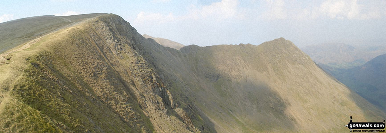
Nethermost Pike
891m (2924ft)
The Eastern Fells, The Lake District, Cumbria, England
You can find Nethermost Pike & all the walks that climb it on these unique free-to-access Interactive Walk Planning Maps: (click/TAP to select)
1:25,000 scale OS Explorer Map (the ones with orange/yellow covers):
1:50,000 scale OS Landranger Map (the ones with pink/magenta covers):
See Nethermost Pike and the surrounding tops on our free-to-access 'Google Style' Peak Bagging Maps:
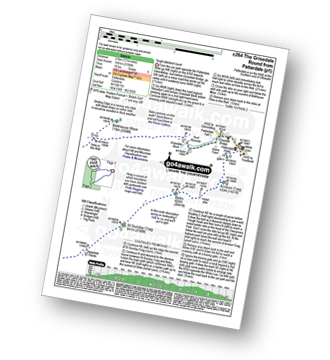
See Nethermost Pike and the surrounding tops on our downloadable PDF Peak Bagging Maps:
*Walk & bag all 35 Wainwrights in The Eastern Fells area of The Lake District in just 8 easy-to-follow circular walks.
*This version is marked with the walk routes you need to follow to Walk all 214 Wainwrights in just 59 walks. Click here for more information.
NB: Whether you print off a copy on to paper or download it to your phone, these PDF Peak Baggers Maps will prove incredibly useful when your are up there on the tops and you cannot get a phone signal!
 Fellow go4awalkers who have already walked, climbed, summited & bagged Nethermost Pike
Hazel Gilbert walked up Nethermost Pike on May 12th, 2017 [with] Lawrence
Martyn Atherton climbed Nethermost Pike on May 17th, 2024 [from/via/route] Dollywagon, Nethermost & Helvellyn from Thirlmere [with] Martyn KMF Group [weather] Dry & Warm
Kate Peacock bagged Nethermost Pike on May 25th, 2024 [from/via/route] Parked at Wanthwaite as well as leaving a car at the end. Up via Clough Head. [with] Me, Sheila & Skye [weather] Sunny at times, breezy & cold when the sun was behind the clouds - Longest hike to date
Richard Fulcher hiked Nethermost Pike on May 20th, 2024 [from/via/route] Parked in Glenridding & set off along the path that follows Glenridding Beck on it's south side. Following the is path around the bend at the Youth Hostel this becomes the Red Tarn Beck path. I turned off this & ascended Catstycam up it's eastern shoulder whilst Jen took the easier Swirral Edge path. We met up on Swirral Edge & climbed over the steep rocky terrain up to the ridge & across to Helvellyn. After watching the cricket match in the mist (!) we then walked along to Nethermost Pike & further to Dollywaggon Pike (this was a mistake as it extended the walk too far for us & our level of fitness. We then returned to Helvellyn by the well trodden path along the ridge & then down to Lower Man & down & up to White Side. Jen then took the zigzag path down the side of Keppel Cove whilst I trudged up to Raise to bag my sixth Wainwright of this outing. I returned back down & followed Jen down the Keppel Cove path (right knee complaining). I eventually caught up with Jen at a bridge near to the old mine. We then completed the day's hike with a well deserved pint & meal (uhhg) at the Travellers Rest pub in Glenridding. A 12 hour walk … very tired with every muscle aching … but what a great day on the fells! [with] Jen [weather] Very sunny & warm to start with, turning cloudy & misty on the tops later.
Jason Mcmillan summited Nethermost Pike on July 7th, 2021 [from/via/route] Helvellyn from Thirlmere
Martin Hartshorne conquered Nethermost Pike on February 23rd, 2024 [from/via/route] Wythburn church [with] finley [weather] Sunny start, snow in tops, whiteout later & bitterly cold. Ended in the dark again!
Richard Beardsley scaled Nethermost Pike on October 23rd, 2023 [from/via/route] Swirls car park. [with] Myself, Paula, Andy and Dylan. [weather] Nice fine day but cold. - Commenced walk at 0800hrs from Swirls car park. Route taken was the Helvellyn round from Thirlmere. Time taken for whole hike was 6 hours.
Angeline Grieveson walked up Nethermost Pike on April 5th, 2023 [with] Dotty
James Hughes climbed Nethermost Pike on May 30th, 2023 [from/via/route] Birkhouse Moor, Hellvellyn Striding Edge, Nethermost Pike, Dollywagon Pike [with] Solo [weather] Beautiful day, clear, warm. blue skies & no wind. - Pearler of a day...
Geoff Hand bagged Nethermost Pike on February 14th, 2023 [from/via/route] From Glen Ridding climbed Birkhouse Moor on the way to Helvellyn back over Nethermost Pike, White Crag & Dolly Waggon Pike [with] Tess [weather] Cold & clear at first followed by squally showers. - Birthday walk taking in Striding Edge, a bit of a challenge with Tess but did get some help from other walkers. Following the old pack horse trail down Patterdale common was great to see how the valley changed from the top at Grisedale Tarn to Braesteads Farm.
Ian Ashton hiked Nethermost Pike on March 31st, 2021 [with] Jack Liam chelle
Caroline Winter summited Nethermost Pike on August 9th, 2018 [from/via/route] Via/From: Glen ridding, Stiding Edge, Helvellyn, Nethermost Pike, Swirral Edge, Catsye Cam [with] Becky [weather] Hot & humid - Making way to Dollywaggon Pike, but ran out of energy, so returned via Swirral Edge.
Claire Murray conquered Nethermost Pike on September 4th, 2021 [from/via/route] Helvellyn from free car park then Nethermost Pike, Dollywaggon Pike & Seat Sandal [with] Vitor - Lots of steps to climb to the top, lovely flat walk back beside Thirlmere
Tony Halliday scaled Nethermost Pike on May 7th, 2022 [from/via/route] Circular walk starting at swirl car park as part of a circular taking in Helvellyn lower man Helvellyn nethermost pike & dolly wagon pike [with] My boarder terrier jimmy boo and George also my wife sal [weather] The weather was warm start dry sunny no wind but cooler on the summit - Nice circular roughly 10miles great views over Keswick & surrounding fells ended with a nice couple of pints
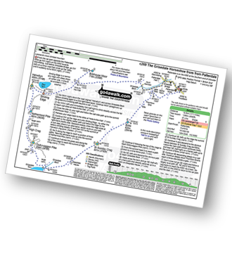
Christine Shepherd walked up Nethermost Pike on February 19th, 2006 [from/via/route] Walked from Thirlmere via Helvellyn [with] Rebecca [weather] A white out - A local man helped my daughter & myself locate the summit in the whiteout. Was glad to climb Nethermost again on my own in glorious sunshine on 25.9.10. using walk c269. Climbed again on 7.5.22
Richard Marshall climbed Nethermost Pike on August 26th, 2021 [from/via/route] Various [with] Me and Roxy [weather] Sunny & warm
Paul Ward bagged Nethermost Pike on April 26th, 2016 [from/via/route] Started from Wild Campsite near Hartsop [with] Jamie
Martin Woods hiked Nethermost Pike on June 6th, 2021 [from/via/route] From Patterdale - Birks to Fairfield round to Hellvelyn & down to Glenridding [with] Ackers and Crush [weather] Sun, 22 deegrees v.little breeze
Angela Haworth summited Nethermost Pike on March 25th, 2002 [from/via/route] From Thirlspot return via Dollywagon Pike, Grisdale Tarn - Dunmail Raise [with] companion [weather] Dry - Broke leg between Grisdale Tarn & Dunmail Raise - walked myself to the road.
Sarah Culverhouse conquered Nethermost Pike on September 18th, 2020 [from/via/route] Glenridding [weather] glorious sunshine
Sarah Hamer scaled Nethermost Pike on August 20th, 2020 [from/via/route] Glenridding - parked up & took on Nethermost Pike, Dollywaggon Pike & Birkhouse Moor - Striding Edge - near meltdown [with] Chris Hamer, David May and Maddie [weather] Started off sunny & 17 degrees - wind got up & on the top it was really blowing, a little shower but once away from the tops the wind dies down - thank goodness - My memory of Striding Edge must have been buried as this was the 3rd time of taking it on. A good one to start off on - the others surely can only be easier!!
Andy Buxton walked up Nethermost Pike on April 25th, 1992 [from/via/route] From Patterdale. Circular walk: Birks, St.Sunday Crag, Fairfield,Dollywagon Pike, Nethermost Pike,Birkhouse Moor [with] SPI Lewis [weather] Cool, clear day, but windy. - Enjoyable route
Michael Austin climbed Nethermost Pike on June 28th, 2019 [from/via/route] Striding Edge
Richard Banks bagged Nethermost Pike on August 17th, 2019 [from/via/route] Thirlmere
Kevin Foster hiked Nethermost Pike on October 24th, 2019 [from/via/route] Patterdale [with] By myself. [weather] Blue skies (cloud developing later on Striding Edge & Helvellyn). - This top,which lies east of the main path descending from Helvellyn to Grisedale Tarn, appears to be rarely visited. Skirting the edge of Nethermost Cove it is the first large cairn you encounter & the views are tremendous but the summit is a plateau so there can't be much height difference between this & all the other piles of rocks & stones you find there.
Andrew Johnson summited Nethermost Pike on October 2nd, 2019 [from/via/route] Bramcrag quarry. Car left in Grasmere. Bus to Thirlmere dam road then bike to Bramcrag quarry, [weather] Sunny weather
Robin Thorne conquered Nethermost Pike during May, 2018 [from/via/route] Coast to Coast Walk [with] Jon Thorne [weather] Sunny
Jamie Bryan scaled Nethermost Pike on July 6th, 2019 [weather] Sunny
Richard Marchant walked up Nethermost Pike on March 21st, 1996 [from/via/route] Glenridding-Birkhouse Moor-Striding Edge-Helvellyn-Nethermost Pike-High Crag-Dollywaggon-Grisedale Tarn-Fairfield-St Sunday Crag- Birks & eventually back to Glenridding. [with] Caryn Norman an old friend [weather] Very cold, icy & cloud level down to the 700m mark
Stephen Reader climbed Nethermost Pike on July 5th, 2019 [from/via/route] Via Grisedale Tarn, & Dollywaggon on to Helvellyn an Whiteside [with] Mountain Walks [weather] Very windy, cold & wet on top. No view at all.
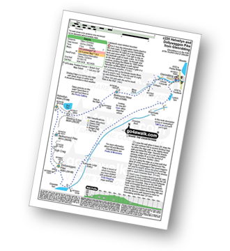
John Tippins bagged Nethermost Pike on October 27th, 2018 [from/via/route] Started from Glenridding car park. Walk c220 from go4awalk.com [with] Solo [weather] Very sunny all day but biting northerly wind - wind chill minus 11. Was quite warm in sheltered spots - if you can find any on the way up Helvellyn.
Wayne Baxter hiked Nethermost Pike on April 10th, 2019 [from/via/route] From lay-by near Stanan walked up sticks pass, right at the top to Raise, Whiteside, Hellvellyn, Nethermost Pike, Dollywagon Pike & Seat Saddle. Down Tongue Gill. Bus back to Stanan [with] Sue [weather] Cloudy with a strong east wind - Steep decline from Dollywagon & what a climb up Seat
Louis Smith summited Nethermost Pike on December 28th, 2018 [weather] mist
Lucy Perchard conquered Nethermost Pike on September 5th, 2018 [from/via/route] the Helvellyn range ascending from Legburthwaite to Sticks Pass & then along the ridge to Raise, Whiteside, Lower Man, Helvellyn, Nethermost Pike & Dollywagon Pike, then down to Grisedale Tarn, back up to Seat Sandal before descending down to Grasmere. [with] Tony [weather] Mostly sunny - Great views of Striding Edge & the peak of Catstycam
Andrew Peate scaled Nethermost Pike on June 15th, 2018 [from/via/route] From Thirlmere up Helvellyn Gill down Wythburn [with] Dave Thorley [weather] Overcast, cold & windy on top, brighter later
Simon Myerscough walked up Nethermost Pike on November 13th, 2005 [from/via/route] C220
Neil Bennett climbed Nethermost Pike on August 17th, 2017 [from/via/route] Climbed Helvellyn from the car park at Wythburn Church before moving on to Nethermost Pike, High Crag & Dollywaggon Pike. Dropped down to Grisedale Tarn & followed Raise Beck down to Dunmail Raise. [with] Pam Bennett, Oliver Bennett, Thomas Bennett. [weather] Sunny with variable amounts of cloud.
Simon Wilde bagged Nethermost Pike on June 6th, 2007 [from/via/route] Grasmere [with] Nicola wilde [weather] Sunny - Honeymoon
Dave Eyes hiked Nethermost Pike on August 23rd, 2017 [from/via/route] from Patterdale, up grisedale to the tarn, up seat sandal & then on to dollywagon & then to Nethermost [with] Christine Eyes [weather] Cloudy & warm - good views - total walk included Seat Sandal, Dolly wagon, Nethernost pike, Helvellyn & Catsycam
Clare Tait summited Nethermost Pike on August 13th, 2017 [from/via/route] Parked at Swirls & took bus to Dunmail Raise. Good paths & great views. On to Helvellyn & back down to Swirls. Good route. [with] Charlie [weather] Sunshine - Beautiful views.
Iain Jones conquered Nethermost Pike on August 5th, 2017 [from/via/route] Kirkstone Pass (The Wainwright 60 - Day 3 (Helvellyn)) [with] Graeme High
Anthony Scott scaled Nethermost Pike on July 3rd, 2017 [from/via/route] YHA Helvellyn [with] me [weather] Grey clouds & mist clearing - Quite busy for a Monday
Chris Sheard walked up Nethermost Pike on June 9th, 1998 [from/via/route] From Helvellyn - 7 May 1999 [with] John & Paul - George Baz & Colin CTC [weather] Weather great warm & still - both days - Last outing with John & Paul as they both went went overseas
Elaine Evans climbed Nethermost Pike on May 12th, 2017 [from/via/route] Ascent via Raise Beck to Grizedale Tarn, then on to Dollywaggon Pike & Nethermost Pike before completing the Helvellyn ridge. [with] Sue and Christine [weather] Beautiful warm day with a welcome breeze. Rather hazy. - Good walk to complete Helvellyn Ridge avoiding Striding & Swirral Edges.
Frances Thornton bagged Nethermost Pike on August 21st, 2016 [from/via/route] Dunmail Rise [with] KFW John Hart led. [weather] Rainy at first then windy but dry. - With Helvellyn again.
Tracey Cowell hiked Nethermost Pike on March 12th, 2017 [from/via/route] Raise beck/ dolly wagon pike/ nethermost pike/ Willie wife moor [with] Andy foster [weather] Rain
Darren Wilson summited Nethermost Pike on January 29th, 2017 [from/via/route] from Wythburn Nethermost, Dollywagon Seat Sandal [with] with Dan & Anthony [weather] snow blizzards above 650metres
Steve Cookson has conquered Nethermost Pike [from/via/route] patterdale [with] Ed and Gillie [weather] sunny
Jill Dean scaled Nethermost Pike on October 15th, 2015 [from/via/route] Patterdale [with] Grez [weather] Kind to us
Richard Annett walked up Nethermost Pike on October 9th, 2016 [from/via/route] Wythburn on the Thirlmere [with] Alone [weather] 15 degrees & cloudless - Interesting church in the car park
Mark Davidson climbed Nethermost Pike on May 7th, 2008 [with] Alone - though I did have Jack's ashes with me on the way up to Helvellyn where they were scattered [weather] Lovely day - nice & sunny. He would have loved it.
Mark Price bagged Nethermost Pike on September 10th, 2016 [from/via/route] glen ridding to grasmare [with] Shaun Dunmall, Marek, David Hill
David Watson hiked Nethermost Pike on June 12th, 2016 [from/via/route] Patterdale via Eagle Crag & Hard Edge. [weather] Good on the way up. Caught in a rain storm on the way back
Paul Peppiate summited Nethermost Pike on May 14th, 2016 [from/via/route] Wythburn Church [with] Annie [weather] Sunny
Michael Smyth conquered Nethermost Pike on July 15th, 2015 [from/via/route] Patterdale- Hard Tarn to Lanty's Tarn via Helvellyn [with] Brampton Fell Walkers [weather] Sunny day
Elaine Grayson scaled Nethermost Pike on September 19th, 2014 [from/via/route] Helvellyn ridge from dunmail raise
Tony Rogerson walked up Nethermost Pike on June 23rd, 2015 [from/via/route] Up Grisedale down Swirral Edge [with] Floss [weather] Sunny - Hot day
Mike Jackson climbed Nethermost Pike on September 13th, 2015 [from/via/route] Kirkstone Pass [with] Global [weather] Ok - Part of the 24 Peaks in 24 hours
Phillip Bulley bagged Nethermost Pike on September 11th, 2015 [from/via/route] High Crag [with] Judith and Toby [weather] Sunny & very windy.
Derek Parkin hiked Nethermost Pike on July 26th, 2015 [from/via/route] White Side [with] Lynn Parkin [weather] Rain
Paul Macey summited Nethermost Pike on June 22nd, 2015 [weather] cloudy - Left Helvellyn via swirl edge missed Catstye walked birkhouse moor
Andy Pearce conquered Nethermost Pike on April 5th, 2015 [from/via/route] Glenridding via Sheffield Pike & Helvellyn [with] Anita Pearce, Tyler Peacock [weather] Sunny
Christina Lander scaled Nethermost Pike on February 17th, 2015 [from/via/route] Grasmere [with] Dick, Michael & Kath Hobday [weather] Cold & dry. Windy. Snow underfoot - On the way to Helvellyn
Leon Harvey walked up Nethermost Pike on February 9th, 2015 [from/via/route] Seat Sandal, Dollywaggon Pike, High Crag, Nethermost Pike [with] Solo [weather] Snow & Ice Clear Westher - lovely views
Ian Woodford has climbed Nethermost Pike [from/via/route] Bagged this when I did helvellyn [with] Alone [weather] Sunny - Have a map, because it's easy to miss bagging these mountains along the way
Andrew Wood bagged Nethermost Pike on June 29th, 2014 [from/via/route] Go 4 a walk [with] Andrew, Doug & Mel [weather] lovely warm day cold on the tops - Also bagged Helvellyn via Striding Edge that day
Joanne Mcgawley hiked Nethermost Pike on September 13th, 2014 [from/via/route] Dollywagon & Seat Sandal [with] Rich [weather] Muggy & Warm - 8 miles.
Ian Simpson summited Nethermost Pike on August 23rd, 2014 [from/via/route] From Wythburn car park [with] Lou
David Noble conquered Nethermost Pike on August 15th, 2014 [from/via/route] Glenridding [with] Reece [weather] Sunny & then overcast
Keith Eastman scaled Nethermost Pike on July 9th, 2014 [from/via/route] c220
Steve Davenport walked up Nethermost Pike on June 18th, 2014 [weather] toasty hot
Simon Boddy climbed Nethermost Pike on June 8th, 2014 [from/via/route] Glenridding [with] Girlfriend [weather] Windy but fair
Michael Vaughn bagged Nethermost Pike on June 6th, 2014 [from/via/route] Thirlmere [with] Rob Friend [weather] clear
David Fearn hiked Nethermost Pike on June 11th, 2014 [from/via/route] From Glenridding via Mires beck to Birkhouse Moor, then via Striding Edge to Helvellyn. The onto High Crag & Dollywaggon Pike. Returned to Glenridding via Grisedale Tarn & Grisedale [with] Alone, joined up with a group of RAF personnel to crosss Striding Edge. [weather] Clear warm day intermittent cloud on summit of Helvellyn
Kevin Parnham summited Nethermost Pike on May 16th, 2014 [from/via/route] Helevellyn [with] Jo [weather] Sunny but windy - Fantastic views
Doug Martin conquered Nethermost Pike on April 23rd, 2014 [from/via/route] Willie Wife Moor from Dunmail Raise via Helvellyn [with] Fellwalkers [weather] Rain forecast for later in day but cloud moved in early. Very cold on tops & windy.
Alex Holland scaled Nethermost Pike on April 4th, 2014 [from/via/route] C220
Ann Davis walked up Nethermost Pike on March 10th, 2014 [from/via/route] wythburn car park [weather] sun snow blue skies - great day out
Steve Frank climbed Nethermost Pike on May 31st, 2008 [from/via/route] Glenridding [with] Jackie Frank [weather] Sunny
Graham Coules bagged Nethermost Pike on May 19th, 2008 [from/via/route] Thirmere. Highpark woods [with] Dale [weather] Sunny spells & light cloud.
Charlie Housley hiked Nethermost Pike on November 11th, 2013 [from/via/route] From Thirlspot Farm along the old pony track via Brown Crag. [with] Solo. [weather] Abysmal.
Clive Ward summited Nethermost Pike on May 5th, 2012 [from/via/route] See Helvellyn - same day [with] On my own
Raymond Barnett conquered Nethermost Pike on October 17th, 2013 [from/via/route] wythburn [with] self [weather] good clear
John Powell scaled Nethermost Pike during May, 2008 [from/via/route] Helvellyn
Harry Meijer walked up Nethermost Pike on September 1st, 2013 [from/via/route] Helvellyn & Striding Edge Detour,Glenridding [with] The Lake District Walker
Denis Hoyle climbed Nethermost Pike on August 31st, 2013 [from/via/route] St John's in the vale to Grasmere. [with] Steve and his brothers [weather] Overcast & rain. - Good views apart from when it rained.
Christine Knowles bagged Nethermost Pike on April 30th, 2013 [from/via/route] Great Dodd over Helvellyn ridge [with] Graham [weather] Windy & cool
Peter Harris has hiked Nethermost Pike [from/via/route] Patterdale
Brian Laverty summited Nethermost Pike on May 29th, 2010 [from/via/route] glenridding [with] wendy [weather] rubbish
Jacqui Smith conquered Nethermost Pike on January 10th, 2013 [from/via/route] wythburn [with] Graham and John Scadding
Andrew Martin scaled Nethermost Pike on March 26th, 2010 [from/via/route] glennridding
Iain Taylor walked up Nethermost Pike on June 5th, 2011 [from/via/route] Glenridding (NY 38992 16932)
Carole Walton climbed Nethermost Pike on October 28th, 2012 [from/via/route] Patterdale, Grisedale, Dollywaggon,Helvellyn & Catsyam [with] Friends x2 [weather] Horrible. Rain, wind & snow on tops - Hellish Swirrell Edge
Chris Bramley bagged Nethermost Pike on October 13th, 2012 [from/via/route] Glennridding [with] Jaq, Blake, daz
Bay Wan hiked Nethermost Pike on September 2nd, 2012 [from/via/route] Start from Grasmere, via Dollywaggon Pike on way to Helvellyn & down via Lower man [with] Graeme Cowie and Cocoa Pops (the dog) [weather] Sunny, clear & Warm : 19 degrees
Tony Aspden summited Nethermost Pike on May 21st, 2012 [from/via/route] Fairfield Horseshoe [with] Andy [weather] Sunny
Darren Mortimer conquered Nethermost Pike on May 24th, 2012 [from/via/route] Patterdale [with] Dermot Palmer [weather] Hot & sunny
Stephen Littlewood scaled Nethermost Pike on June 9th, 2007 [from/via/route] from Hellvelyn
Colin Pomfret walked up Nethermost Pike on November 1st, 1986 [from/via/route] Ascent via Sticks Pass [with] Self [weather] Rain mist clearing later - Chanced across a Warrington Fell Walking group
Jayne Phelps climbed Nethermost Pike on May 21st, 2009 [from/via/route] Thirlmere
Patrick Rogozinski, Paul Roddam, Jenny Godfrey, Clare Houlihan, Jane Wilkinson, Matthew Thomas, Wendy Sockett, Angela Moroney, Victoria Bates, Mr M A Blanchard, Trevor Longman, Paul Kendell, Jo Dixon, John Walter, Peter Clark, David Shaw, David Laws, Simon Clark, Steven Woodroffe, Edward Wells, Peter O'sullivan, John Grimes, David Butterfield, James Munroe, Wendy Haycock, Graham Pepper, Gordon Lee, Patricia Dilley, Simon Duerden, Colin Egan, Jonathan Tobin, Phil Clark, Robin Blunden, Paul Booth, Louise Sandwith, Kath Edwards, Rod Cove, Linda Mckeogh, Trevor Williams, Paul Ford, Tracey Cordes, Paul Henderson, Lee Mutch, Carol Juden, Patrick Buckland, Paul Stevens, Ian Thomas, Stephen Millington, Chris Bede, Rob Barklamb, Jeanette Coward, Adam Shewry, Ray O'hara, Libby Burns, Jenny O'hare and Rebecca Hardy have all walked, climbed & bagged Nethermost Pike.To add (or remove) your name and experiences on this page - Log On and edit your Personal Mountain Bagging Record
. . . [see less walk reports]
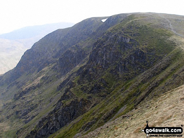
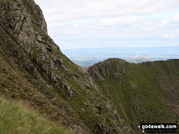
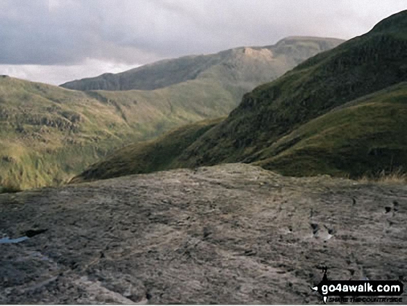
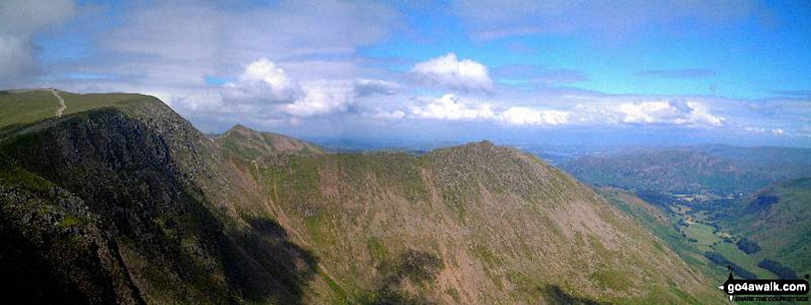
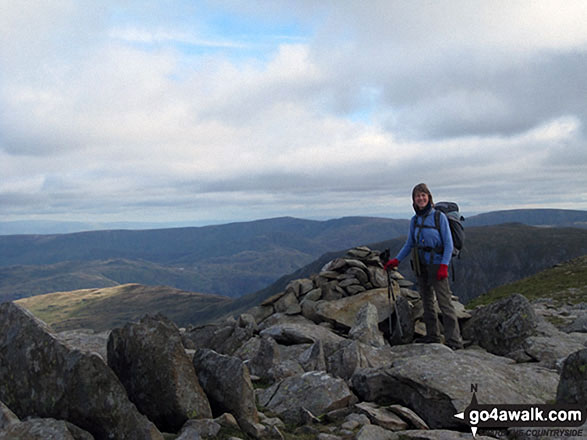
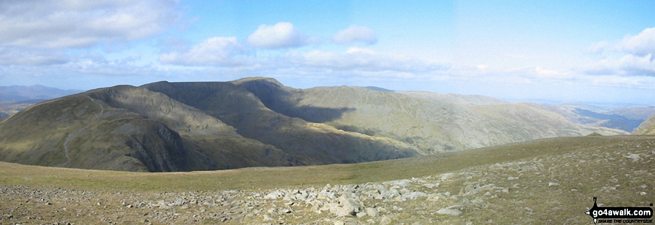
More Photographs & Pictures of views from, on or of Nethermost Pike
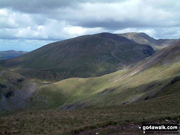
Grisedale Hause, Dollywaggon Pike (centre), Nethermost Pike, Helvellyn and Striding Edge (far right) from Great Rigg
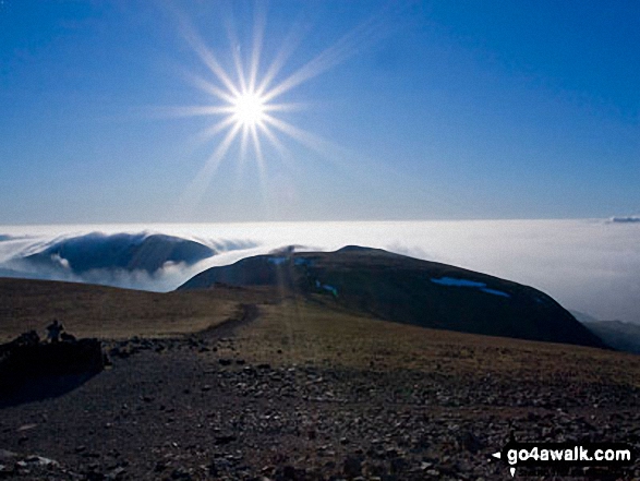
Clouds rolling in over Fairfield (left), Dollywaggon Pike and Nethermost Pike from Helvellyn
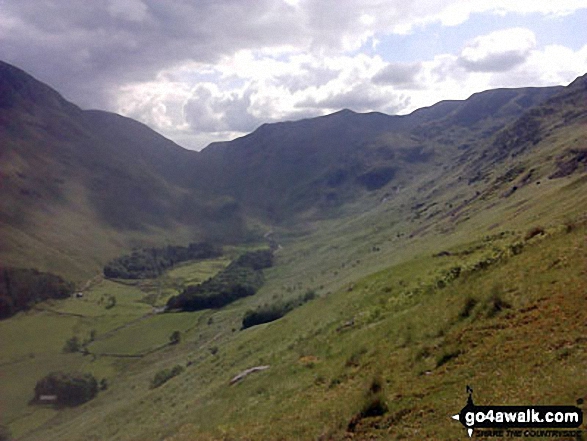
Looking up Grisedale to St Sunday Crag & Fairfield (left), Grisedale Hause, Dollywaggon Pike, High Crag (Helvellyn) & Nethermost Pike from below Hole-in-the-Wall

The Helvellyn Ridge featuring Dollywaggon Pike, Nethermost Pike, Helvellyn and Striding Edge from Fairfield
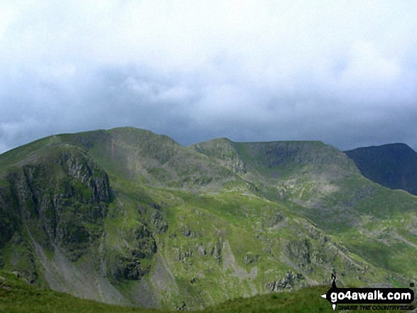
Dollywaggon Pike, Nethermost Pike and Helvellyn from Cofa Pike near the summit of Fairfield
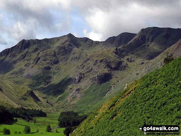
The head of the Grisedale Valley with Dollywaggon Pike to the left, High Crag, Nethermost Pike and then Helvellyn (far right) from near Brownend Plantation

The Helvellyn Ridge featuring: Great Dodd, Watson's Dodd, Stybarrow Dodd, Raise (Helvellyn), White Side, Helvellyn, Nethermost Pike, Dollywaggon Pike, St Sunday Crag, Fairfield, Great Rigg and Heron Pike with Steel Fell (mid distance) and Calf Crag, Gibson Knott and Helm Crag (foreground) from Brownrigg Moss
. . . see just 20 walk photographs & pictures of views from, on or of Nethermost Pike
Send us your photographs and pictures on, of, or from Nethermost Pike
If you would like to add your walk photographs and pictures featuring views from, on or of Nethermost Pike to this page, please send them as email attachments (configured for any computer) along with your name to:
and we shall do our best to publish them.
(Guide Resolution = 300dpi. At least = 660pixels (wide) x 440 pixels (high).)
You can also submit photos via our Facebook Page.
NB. Please indicate where each photo was taken.
 (Hard)
 (Hard)
 (Very Hard)