
![]()
Aye Gill Pike
556m (1824ft)
The Southern Dales Area, The Yorkshire Dales, Cumbria, England England
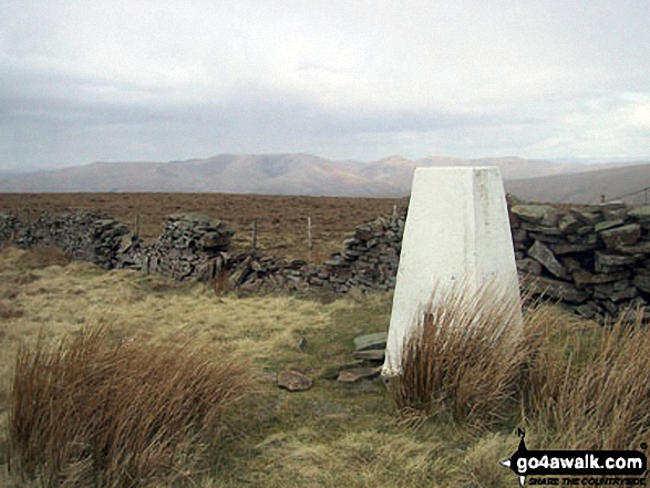
The summit of Aye Gill Pike is marked by an Ordnance Survey Trig Point.
You can find Aye Gill Pike & all the walks that climb it on these unique free-to-access Interactive Walk Planning Maps: (click/TAP to select)
1:25,000 scale OS Explorer Map (the ones with orange/yellow covers):
1:50,000 scale OS Landranger Map (the ones with pink/magenta covers):
See Aye Gill Pike and the surrounding tops on our free-to-access 'Google Style' Peak Bagging Maps:
See Aye Gill Pike and the surrounding tops on our downloadable PDF Peak Bagging Map:
   |
|---|
Vital Statistics:
| Length: | 12.75ml (20.5km) |
|---|---|
| Ascent: | 1,830ft (558m) |
| Time: | 6½ hrs |
| Grade: |  (Moderate) (Moderate) |
Route Summary:
Dent - The Dales Way - Barth Bridge - Long Moor - Aye Gill Pike - Rise Hill - Snaizwold Fell - Cowgill - The Dales Way - Dent
|
|---|
Vital Statistics:
| Length: | 18ml (29km) |
|---|---|
| Ascent: | 2,945ft (898m) |
| Time: | 9½ hrs |
| Grade: |  (Hard) (Hard) |
Route Summary:
Dent - The Dales Way - Barth Bridge - Long Moor - Aye Gill Pike - Rise Hill - Little Snaizwold Fell - Snaizwold Fell - Cowgill Wold Moss - Crosshills Wold - Pikes Moss - Great Knoutberry Hill (Widdale Fell) - Arten Gill Beck - Dent Fell - The Dales Way - Stone House - Cowgill - Dent
 Fellow go4awalkers who have already walked, climbed, summited & bagged Aye Gill Pike
Anthony Scott walked up Aye Gill Pike on September 19th, 2022 [from/via/route] From Sunnyside, along Dales Way & up North side & along ridge [with] Steph and Muttlie [weather] Cloudy but brightened up later - perfect conditions!!
Ruth Nolan has climbed Aye Gill Pike [from/via/route] Dent, long moor [with] Solo [weather] Warm, hazy, breeze
Tony Rogerson bagged Aye Gill Pike on September 10th, 2016 [from/via/route] Dent Station Dentdale Long Moor Aye Gill Pike Black Hill Cowgill [with] Caz Floss [weather] Warm & Sunny - Fantastic views
Patrick Rogozinski, Mark Davidson, Kevin Bloor and Lee Senior have all walked, climbed & bagged Aye Gill Pike.
To add (or remove) your name and experiences on this page - Log On and edit your Personal Mountain Bagging Record
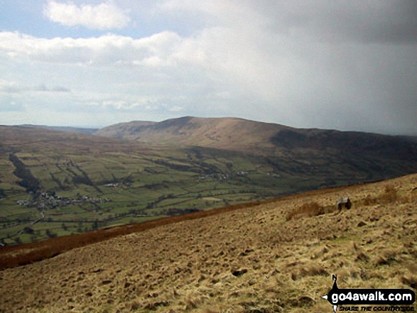
More Photographs & Pictures of views from, on or of Aye Gill Pike
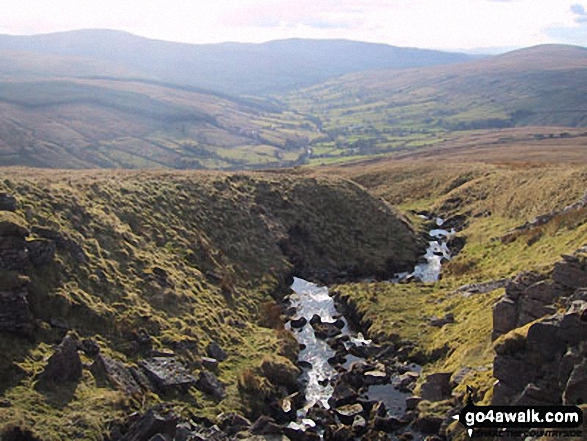
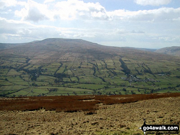
Dentdale with Whernside (left) Calf Top (centre) and Aye Gill Pike (right) from Great Knoutberry Hill (Widdale Fell)
Send us your photographs and pictures on, of, or from Aye Gill Pike
If you would like to add your walk photographs and pictures featuring views from, on or of Aye Gill Pike to this page, please send them as email attachments (configured for any computer) along with your name to:
and we shall do our best to publish them.
(Guide Resolution = 300dpi. At least = 660pixels (wide) x 440 pixels (high).)

You can also submit photos via our Facebook Page.
NB. Please indicate where each photo was taken.


