Slight Side
762m (2501ft)
The Southern Fells, The Lake District, Cumbria, England
You can find Slight Side & all the walks that climb it on these unique free-to-access Interactive Walk Planning Maps: (click/TAP to select)
1:25,000 scale OS Explorer Map (the ones with orange/yellow covers):
1:50,000 scale OS Landranger Maps (the ones with pink/magenta covers):
See Slight Side and the surrounding tops on our free-to-access 'Google Style' Peak Bagging Maps:
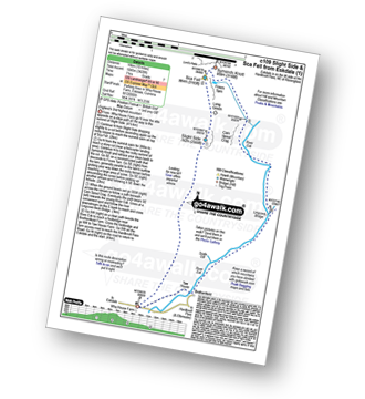
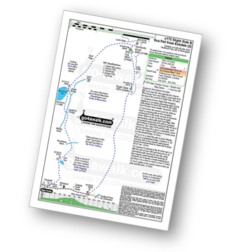
See Slight Side and the surrounding tops on our downloadable PDF Peak Bagging Maps:
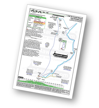
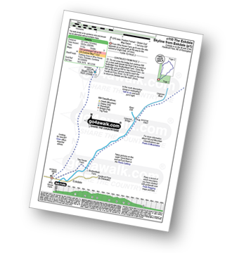
*Walk & bag all 30 Wainwrights in The Southern Fells area of The Lake District in just 11 easy-to-follow circular walks.
*This version is marked with the walk routes you need to follow to Walk all 214 Wainwrights in just 59 walks. Click here for more information.
NB: Whether you print off a copy on to paper or download it to your phone, these PDF Peak Baggers Maps will prove incredibly useful when your are up there on the tops and you cannot get a phone signal!
 Fellow go4awalkers who have already walked, climbed, summited & bagged Slight Side
Caroline Winter walked up Slight Side on October 7th, 2024 [from/via/route] Eskdale YHA, Wha house footpath, Goat crag, Cats Cove, Horn crag, Slightside [with] Graham [weather] Predicted heavy rain with VG views but turned out to be drizzle most of the day with strong winds & gusts. - Intended a rest day but fellow youth hosteller was to bag this Wainwright so Joined him, as my plan was to do tomorrrow with better weather. Others from YHA had struggled, coming off the route & we did the same, needing to get back on cause a few times & found ourselves hacking through bracken on way back. Winds ferocious on top, meaning we needed to cling to the roach face on the scramble up. Some aborted walk over to Scafell Pike & like us another had been knocked to the ground a few times passing over Scafell.
Ian Ashton climbed Slight Side on July 28th, 2024 [with] Solo - Ì
Christine Shepherd bagged Slight Side on May 10th, 2009 [from/via/route] I climbed this from Eskdale using walk c175 Climbed again 19.07.2021 from Wasdale Head after climbing Scafell via Lord's Rake. Made my third ascent on 9.5.24 just a lovely up & down from Wha House farm in perfect weather. [with] On my own [weather] Bright & clear - This was the last of the highest 100 Wainwrights which was my target before deciding to climb them all.
John Tippins hiked Slight Side on May 5th, 2023 [from/via/route] From Eskdale to Wasdale [with] Alone [weather] Warm & sunny in the valley, intermittent sun throughout the day.
Richard Marchant summited Slight Side on September 29th, 2022 [from/via/route] Parked at the Wha House Farm National Trust car park in Eskdale & basically this was a straight up & back walk from there. [with] On my Own [weather] Sunny clear day with no breeze.
Andrew Johnson conquered Slight Side on July 1st, 2021 [from/via/route] Wasdale [weather] Fair weather
Clare Tait scaled Slight Side on August 10th, 2021 [from/via/route] From pull in near Wha House Farm car park. Car park was full. [with] Charlie [weather] Dry & bright in the valleys; sadly cloud on the higher summits. - No. 72 Wainwright. Found this extremely hard. Took the route described as ' the easiest' through bog & over multiple streams. Slight Side had a horrible steep path of loose dirt & scree. Sca Fell itself looked huge & forbidding. More zigzag paths of scree. The top was covered in low cloud & there was no view over to Sca Fell Pike. Returned the same way although went wrong & stayed too high at the base of Slight Side. Glad it's done. Won't return.
Wayne Baxter walked up Slight Side on July 14th, 2021 [from/via/route] From Wha House farm car park (opposite the farm). Walked up to cats crag onto Slight Side. Onto Long Green leading to Sca Fell. Return same route. [with] Sue [weather] Cloudy with the odd sunny spell
Richard Marshall climbed Slight Side on July 31st, 2020 [from/via/route] From Boot. Fell off ScaFell [with] Bo [weather] Very Hot. Breezy on top
Paul Macey bagged Slight Side on July 14th, 2020 [from/via/route] On way too & back from Scar Fell from Eskdale Hard Knott passage [weather] Low cloud
To add (or remove) your name and experiences on this page - Log On and edit your Personal Mountain Bagging Record
. . . [see more walk reports]
More Photographs & Pictures of views from, on or of Slight Side
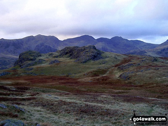
Slight Side and Sca Fell, Mickledore, Scafell Pike, Ill Crag, Great End and Esk Hause from Lingcove Bridge
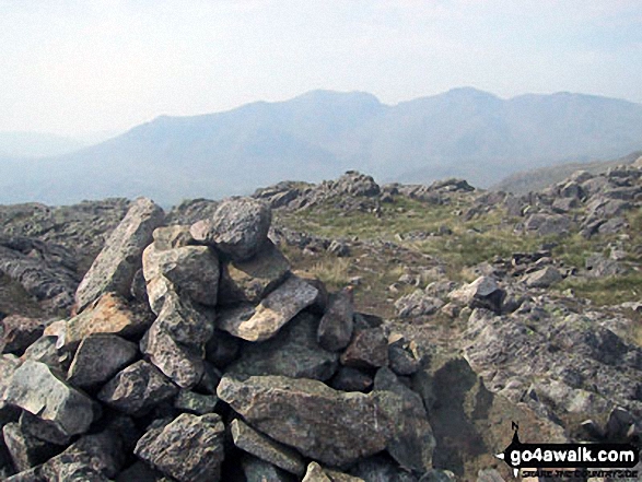
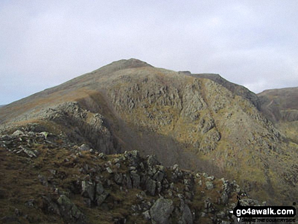
The Scafell Massif - Slight Side, Sca Fell, Symonds Knott, Mickledore, Scafell Pike, Ill Crag and Great End - from the summit of Little Stand
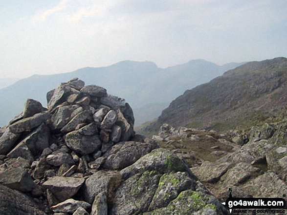
The Scafell Massif - Slight Side, Sca Fell, Symonds Knott, Mickledore, Scafell Pike, Ill Crag and Great End - from the summit cairn on Crinkle Crags (South Top)
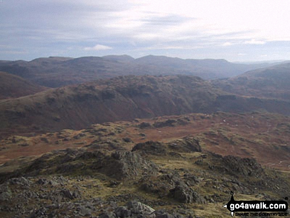
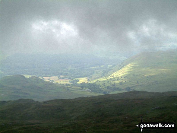
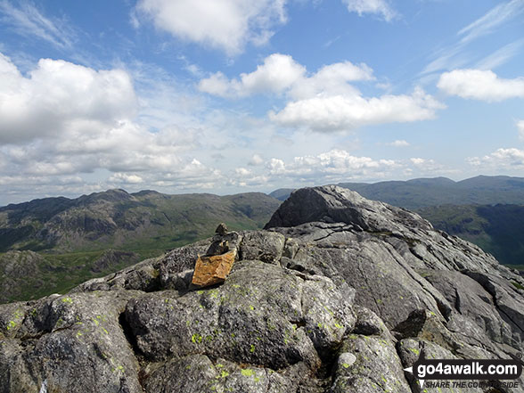
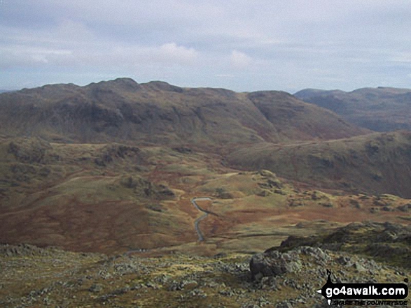
Little Stand (foreground), Pike of Blisco (Pike o' Blisco) (left), Wetherlam and The Old Man of Coniston (right) from Slight Side
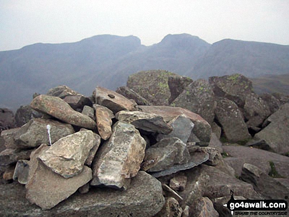
The Scafell Massif - Slight Side, Sca Fell, Symonds Knott, Mickledore, Scafell Pike and Ill Crag - from the summit of Bow Fell (Bowfell)

From left to right: Slight Side and Sca Fell, Mickledore, Scafell Pike, Ill Crag and Great End, Esk Hause, Esk Pike, Bow Fell (Bowfell), Crinkle Crags (Long Top), Cold Pike, Little Stand and finally the shoulder of Grey Friar from the summit of Hard Knott
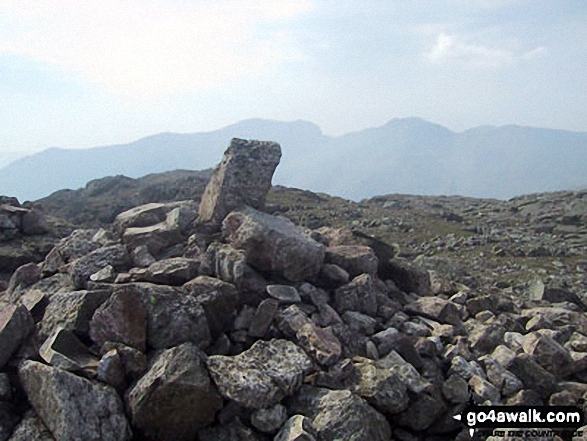
The Scafell Massif - Slight Side, Sca Fell, Symonds Knott, Mickledore, Scafell Pike, Ill Crag and Great End from Crinkle Crags (Long Top)
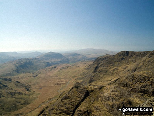
Harter Fell (Eskdale) (centre left), Cam Spout Crag and Slight Side (centre right) with Eskdale below from Ill Crag summit
Send us your photographs and pictures on, of, or from Slight Side
If you would like to add your walk photographs and pictures featuring views from, on or of Slight Side to this page, please send them as email attachments (configured for any computer) along with your name to:
and we shall do our best to publish them.
(Guide Resolution = 300dpi. At least = 660pixels (wide) x 440 pixels (high).)
You can also submit photos via our Facebook Page.
NB. Please indicate where each photo was taken.
 (Hard)
 (Hard)
 (Very Hard)