
![]()
Clints Crags
245m (804ft)
The North Western Fells, The Lake District, Cumbria, England
Tap/mouse over a coloured circle (1-3 easy walks, 4-6 moderate walks, 7-9 hard walks) and click to select.
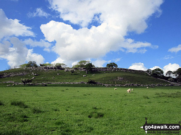
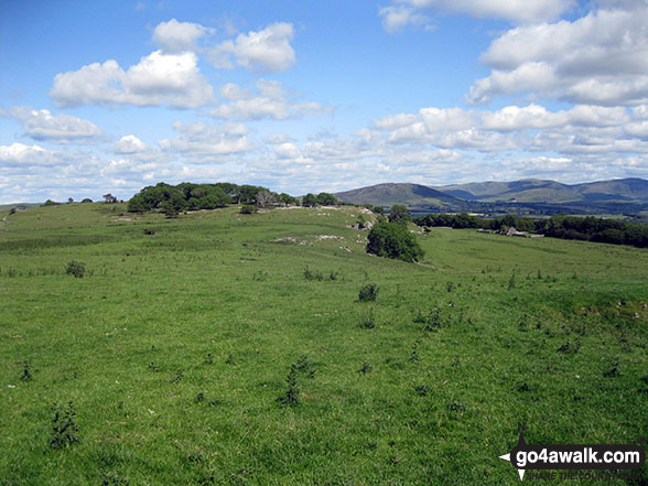
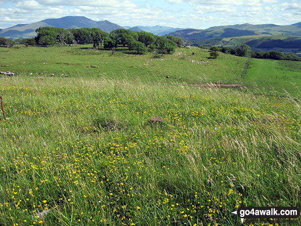
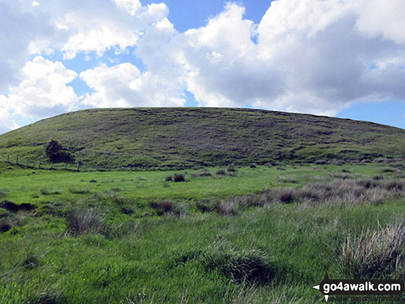
The summit of Clints Crags is marked by a tiny cairn on a grassy hump.
You can find Clints Crags & all the walks that climb it on these unique free-to-access Interactive Walk Planning Maps: (click/TAP to select)
1:25,000 scale OS Explorer Map (the ones with orange/yellow covers):
1:50,000 scale OS Landranger Map (the ones with pink/magenta covers):
See Clints Crags and the surrounding tops on our free-to-access 'Google Style' Peak Bagging Maps:
See Clints Crags and the surrounding tops on our downloadable PDF Peak Bagging Maps:
*Walk & bag all 29 Wainwrights in The North Western Fells area of The Lake District in just 7 easy-to-follow circular walks.
*This version is marked with the walk routes you need to follow to Walk all 214 Wainwrights in just 59 walks. Click here for more information.
NB: Whether you print off a copy on to paper or download it to your phone, these PDF Peak Baggers Maps will prove incredibly useful when your are up there on the tops and you cannot get a phone signal!
   |
|---|
Vital Statistics:
| Length: | 4mls (6.5km) |
|---|---|
| Ascent: | 433ft (132m) |
| Time: | 2 hrs |
| Grade: |  (Easy) (Easy) |
Route Summary:
Blindcrake - Clints Park - Clints Crags - Salkeld Close - Salkeldclose Crags - Thackray Wood - Willie White's Well - Ullerance Gill - Isle Park - Blindcrake
 Fellow go4awalkers who have already walked, climbed, summited & bagged Clints Crags
Trevor Williams walked up Clints Crags on February 10th, 2022 [with] Paul, Barry & Trevor [weather] cloud & rain
Mike Walker has climbed Clints Crags [with] Alone
Tracey Cowell bagged Clints Crags during December, 2017 [with] Andrew and Billy [weather] Cloudy, Windy & Rain Showers
Christine Shepherd hiked Clints Crags on June 2nd, 2017 [from/via/route] Walked from Blind Crake The Wainwright Outlying Fells book [with] On my own [weather] Sunny & clear. - The limestone escarpment was lovely but my enjoyment of this fell was hampered by herds of angry cows. This is very close to Caermote Hill where I was chased by another herd last year. They only stared & brayed noisily this time but it was still worrying.
Dave Gay summited Clints Crags on April 23rd, 2017 [from/via/route] Parked by the green in Blindcrake. [with] Nathaniel [weather] Sunny
Mark Davidson conquered Clints Crags on July 15th, 2015 [with] Solo [weather] Nice & sunny
Paul Booth, Louise Sandwith and David Preston have all walked, climbed & bagged Clints Crags.To add (or remove) your name and experiences on this page - Log On and edit your Personal Mountain Bagging Record
More Photographs & Pictures of views from, on or of Clints Crags
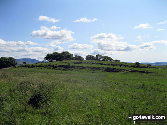
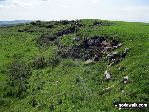
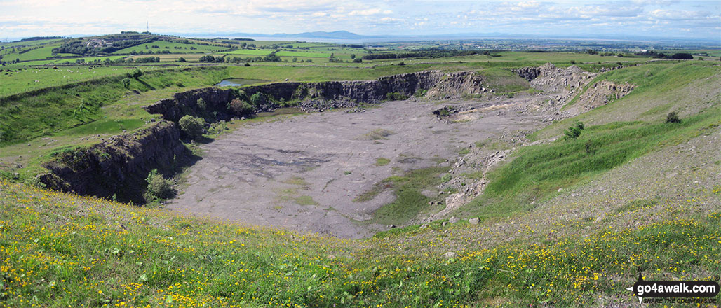
Disused quarry on Clints Crags with Moota Hill (left - with the telecommunications mast on it) beyond
Send us your photographs and pictures on, of, or from Clints Crags
If you would like to add your walk photographs and pictures featuring views from, on or of Clints Crags to this page, please send them as email attachments (configured for any computer) along with your name to:
and we shall do our best to publish them.
(Guide Resolution = 300dpi. At least = 660pixels (wide) x 440 pixels (high).)

You can also submit photos via our Facebook Page.
NB. Please indicate where each photo was taken.


