The Lake District National Park - a fully detailed list of all the Mountains, Peaks, Tops and Hills (Page 1 of 6)
The Lake District National Park is located in North West England, wholly within the county of Cumbria.
If you count only the Nuttalls there are 169 tops to climb, bag & conquer and the highest point is Scafell Pike at 978m (3,210ft).
To see these Mountains, Peaks, Tops and Hills displayed in different ways - see the options in the left-hand column and towards the bottom of this page.
![]() Your Personal Bagging Record for The Lake District National Park
Your Personal Bagging Record for The Lake District National Park
LOG ON and RELOAD this page to show which Mountains, Peaks, Tops and Hills you have already climbed, bagged & conquered [. . . more details]
See this list in: Alphabetical Order‡
| Height Order
To reverse the order select the link again.
Mountain, Peak, Top or Hill:
Bagged

![]()
1. Yoke
706m (2,317ft)
Yoke is on interactive maps:
Yoke is on downloadable PDF you can Print or Save to your Phone: *Version including the walk routes marked on it that you need to follow to Walk all 214 Wainwrights in just 59 walks. |
![]()
2. Yewbarrow (North Top)
616m (2,023ft)
Yewbarrow (North Top) is on interactive maps:
Yewbarrow (North Top) is on downloadable PDF you can Print or Save to your Phone: *Version including the walk routes marked on it that you need to follow to Walk all 214 Wainwrights in just 59 walks. |
![]()
3. Yewbarrow
628m (2,062ft)
Yewbarrow is on interactive maps:
Yewbarrow is on downloadable PDF you can Print or Save to your Phone: *Version including the walk routes marked on it that you need to follow to Walk all 214 Wainwrights in just 59 walks. |
![]()
4. Whiteside (Crummock) (West Top)
707m (2,320ft)
Whiteside (Crummock) (West Top) is on interactive maps:
Whiteside (Crummock) (West Top) is on downloadable PDF you can Print or Save to your Phone: *Version including the walk routes marked on it that you need to follow to Walk all 214 Wainwrights in just 59 walks. |
![]()
5. Whiteside (Crummock)
719m (2,360ft)
Whiteside (Crummock) is on interactive maps:
Whiteside (Crummock) is on downloadable PDF you can Print or Save to your Phone: *Version including the walk routes marked on it that you need to follow to Walk all 214 Wainwrights in just 59 walks. |
![]()
6. Whiteless Pike
660m (2,166ft)
Whiteless Pike is on interactive maps:
Whiteless Pike is on downloadable PDF you can Print or Save to your Phone: *Version including the walk routes marked on it that you need to follow to Walk all 214 Wainwrights in just 59 walks. |
![]()
7. White Side
863m (2,832ft)
White Side is on interactive maps:
White Side is on downloadable PDF you can Print or Save to your Phone: *Version including the walk routes marked on it that you need to follow to Walk all 214 Wainwrights in just 59 walks. |
![]()
8. White Maiden
612m (2,010ft)
White Maiden is on interactive maps:
A downloadable go4awalk.com PDF Peak Bagging Map featuring White Maiden will be available soon. |
![]()
9. Wetherlam
763m (2,504ft)
Wetherlam is on interactive maps:
Wetherlam is on downloadable PDF you can Print or Save to your Phone: *Version including the walk routes marked on it that you need to follow to Walk all 214 Wainwrights in just 59 walks. |
![]()
10. Wether Hill (South Top)
674m (2,212ft)
Wether Hill (South Top) is on interactive maps:
Wether Hill (South Top) is on downloadable PDF you can Print or Save to your Phone: *Version including the walk routes marked on it that you need to follow to Walk all 214 Wainwrights in just 59 walks. |
![]()
11. Wandope
773m (2,539ft)
Wandope is on interactive maps:
Wandope is on downloadable PDF you can Print or Save to your Phone: *Version including the walk routes marked on it that you need to follow to Walk all 214 Wainwrights in just 59 walks. |
![]()
12. Walna Scar
621m (2,038ft)
Walna Scar is on interactive maps:
A downloadable go4awalk.com PDF Peak Bagging Map featuring Walna Scar will be available soon. |
![]()
13. Ullscarf
723m (2,372ft)
Ullscarf is on interactive maps:
Ullscarf is on downloadable PDF you can Print or Save to your Phone: *Version including the walk routes marked on it that you need to follow to Walk all 214 Wainwrights in just 59 walks. |
![]()
14. Thunacar Knott
723m (2,373ft)
Thunacar Knott is on interactive maps:
Thunacar Knott is on downloadable PDF you can Print or Save to your Phone: *Version including the walk routes marked on it that you need to follow to Walk all 214 Wainwrights in just 59 walks. |
![]()
15. Thornthwaite Crag
784m (2,573ft)
Thornthwaite Crag is on interactive maps:
Thornthwaite Crag is on downloadable PDF you can Print or Save to your Phone: *Version including the walk routes marked on it that you need to follow to Walk all 214 Wainwrights in just 59 walks. |
![]()
16. The Old Man of Coniston
802m (2,633ft)
The Old Man of Coniston is on interactive maps:
The Old Man of Coniston is on downloadable PDF you can Print or Save to your Phone: *Version including the walk routes marked on it that you need to follow to Walk all 214 Wainwrights in just 59 walks. |
![]()
17. Tarn Crag (Sleddale)
664m (2,179ft)
Tarn Crag (Sleddale) is on interactive maps:
Tarn Crag (Sleddale) is on downloadable PDF you can Print or Save to your Phone: *Version including the walk routes marked on it that you need to follow to Walk all 214 Wainwrights in just 59 walks. |
![]()
18. Symonds Knott
959m (3,147ft)
Symonds Knott is on interactive maps:
Symonds Knott is on downloadable PDF you can Print or Save to your Phone: *Version including the walk routes marked on it that you need to follow to Walk all 214 Wainwrights in just 59 walks. |
![]()
19. Swirl How
802m (2,633ft)
Swirl How is on interactive maps:
Swirl How is on downloadable PDF you can Print or Save to your Phone: *Version including the walk routes marked on it that you need to follow to Walk all 214 Wainwrights in just 59 walks. |
![]()
20. Stybarrow Dodd
843m (2,767ft)
Stybarrow Dodd is on interactive maps:
Stybarrow Dodd is on downloadable PDF you can Print or Save to your Phone: *Version including the walk routes marked on it that you need to follow to Walk all 214 Wainwrights in just 59 walks. |
![]()
21. Striding Edge (High Spying How)
863m (2,831ft)
Striding Edge (High Spying How) is on interactive maps:
Striding Edge (High Spying How) is on downloadable PDF you can Print or Save to your Phone: *Version including the walk routes marked on it that you need to follow to Walk all 214 Wainwrights in just 59 walks. |
![]()
22. Stony Cove Pike (Caudale Moor)
763m (2,504ft)
Stony Cove Pike (Caudale Moor) is on interactive maps:
Stony Cove Pike (Caudale Moor) is on downloadable PDF you can Print or Save to your Phone: *Version including the walk routes marked on it that you need to follow to Walk all 214 Wainwrights in just 59 walks. |
![]()
23. Steeple
819m (2,688ft)
Steeple is on interactive maps:
Steeple is on downloadable PDF you can Print or Save to your Phone: *Version including the walk routes marked on it that you need to follow to Walk all 214 Wainwrights in just 59 walks. |
![]()
24. Starling Dodd
633m (2,077ft)
Starling Dodd is on interactive maps:
Starling Dodd is on downloadable PDF you can Print or Save to your Phone: *Version including the walk routes marked on it that you need to follow to Walk all 214 Wainwrights in just 59 walks. |
![]()
25. St Sunday Crag
841m (2,760ft)
St Sunday Crag is on interactive maps:
St Sunday Crag is on downloadable PDF you can Print or Save to your Phone: *Version including the walk routes marked on it that you need to follow to Walk all 214 Wainwrights in just 59 walks. |
![]()
26. Skiddaw
930m (3,052ft)
Skiddaw is on interactive maps:
Skiddaw is on downloadable PDF you can Print or Save to your Phone: *Version including the walk routes marked on it that you need to follow to Walk all 214 Wainwrights in just 59 walks. |
![]()
27. Shelter Crags (North Top)
775m (2,543ft)
Shelter Crags (North Top) is on interactive maps:
Shelter Crags (North Top) is on downloadable PDF you can Print or Save to your Phone: *Version including the walk routes marked on it that you need to follow to Walk all 214 Wainwrights in just 59 walks. |
![]()
28. Shelter Crags
815m (2,675ft)
Shelter Crags is on interactive maps:
Shelter Crags is on downloadable PDF you can Print or Save to your Phone: *Version including the walk routes marked on it that you need to follow to Walk all 214 Wainwrights in just 59 walks. |
![]()
29. Sheffield Pike
676m (2,218ft)
Sheffield Pike is on interactive maps:
Sheffield Pike is on downloadable PDF you can Print or Save to your Phone: *Version including the walk routes marked on it that you need to follow to Walk all 214 Wainwrights in just 59 walks. |
![]()
30. Selside Pike
655m (2,150ft)
Selside Pike is on interactive maps:
Selside Pike is on downloadable PDF you can Print or Save to your Phone: *Version including the walk routes marked on it that you need to follow to Walk all 214 Wainwrights in just 59 walks. |
View these 169 Mountains, Peaks, Tops and Hills:
- On Seven Downloadable PDFs you can print or save to your phone covering:
- The Central Fells #
- The Eastern Fells #
- The Far Eastern Fells #
- The Northern Fells #
- The North Western Fells #
- The Southern Fells #
- The Western Fells #
- On Seven Special Wainwright Baggers' versions of the above Downloadable PDFs you can print or save to your phone detailing the routes that Bag All 214 Wainwrights in just 59 walks:
- The Wainwrights in the Central Fells Area #
- The Wainwrights in the The Eastern Fells Area #
- The Wainwrights in the The Far Eastern Fells Area #
- The Wainwrights in the The Northern Fells Area #
- The Wainwrights in the The North Western Fells Area #
- The Wainwrights in the The Southern Fells Area #
- The Wainwrights in the The Western Fells Area #
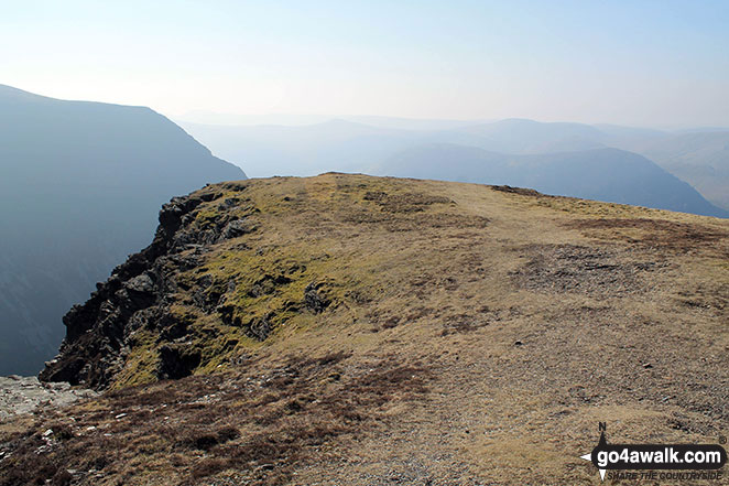
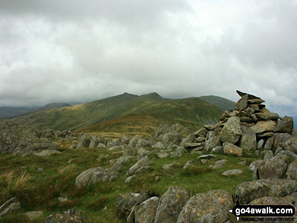
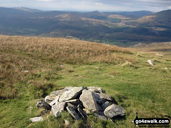
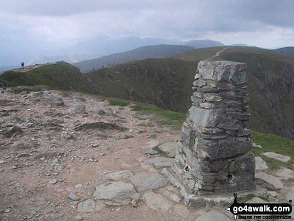
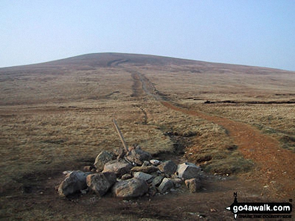
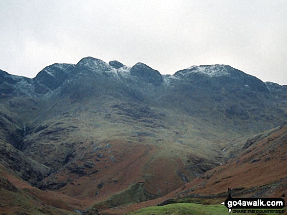
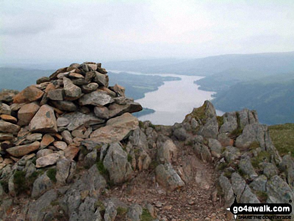
 The view from Scafell Pike in The Lake District
Photo: David Cochrane
- On an Interactive Google Map (loads faster)
- On an Interactive Google Map with a list of tops below it.
(makes it easier to locate a particular top) - On a Detailed List in:
Alphabetical Order | Height Order - On one page with 'yet-to-be-bagged' listed 1st & then 'already-bagged' tops listed 2nd in:
Alphabetical Order | Height Order - On one page with 'already-bagged' tops listed 1st & then 'yet-to-be-bagged' tops listed 2nd in:
Alphabetical Order | Height Order
# Whether you print copies or download them to your phone, these Peak Baggers' Maps will prove incredibly useful if you want to know what's what when you are up in the mountains and cannot get a phone signal.
Is there a Mountain, Peak, Top or Hill missing from the above google map or list?
Let us know an we will add it to our database.

To contribute to go4awalk.com or to contact us about anything at all - see Talk To Us.
For help see Help.
go4awalk.com and go4awalk.co.uk are registered trademarks of TMDH Limited.
Copyright © 2000-2025 TMDH Limited. All rights reserved.
Copyright Terms & Conditions Privacy Statement
A - Z Walks Home Log On/Accounts Photo Gallery Walk Ideas and Collections Fell Facts Hill Skills Walking Questions and Answers Your Stories News Competitions Product Reviews/Gear Tests Walking Gear Guides Peaks and Mountains Peak Bagging Find New Walking Friends Camping GPS Waypoints for Walking Contents Walk Search Talk To Us go4awalk.com Help Free Example Walks Newsletter


