All the Little Hills with a Big, Big View as a detailed list
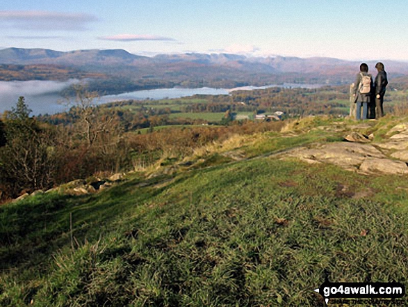
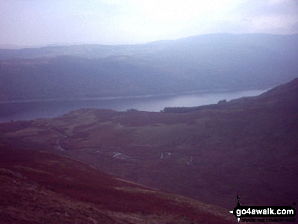
Thirlmere from the summit of Raven Crag
Photo: Ron Anderson
Not everyone wants to walk up huge mountains all of the time.
Indeed, some of Britain's smaller hills offer just as good a view, take less energy to conquer and are not so likely to be shrouded in mist when you get to the summit.
Which, to be honest, would be a bonus!
If you have children and want to take them for a walk, then some of the UK's smaller hills are the perfect way to get your kids smitten by the walking bug and enjoy a healthy day out in the English, Scottish or Welsh countryside.
So here are suggestions for some hills in England, Scotland and Wales with great views that all the family can enjoy.
On our ![]() Facebook and
Facebook and ![]() Twitter Pages we have been regularly suggesting Little Hills with Big, Big Views for a while now. However, not everyone has access to Facebook or Twitter so here's a list of all of them.
Twitter Pages we have been regularly suggesting Little Hills with Big, Big Views for a while now. However, not everyone has access to Facebook or Twitter so here's a list of all of them.
It is not a definitive list - but a growing one. If you have a suggestion for a Little Hill with a Big, Big View that you think all those Mums, Dads, Aunties, Uncles, Boys, Girls, Grandads, Grandmas and the whole the family out there would enjoy walking - then let us know and we will try and add it our our collection.
Oh - and don't forget to upload your photos to our ![]() Facebook Wall so we can everyone see them. Enjoy . . .
Facebook Wall so we can everyone see them. Enjoy . . .
If you include all the Little Hills with Big, Big Views that are also Wainwrights, Deweys, Wainwright Outlying Fells, Marilyns, Bridgets (Hills) and all the Mountains, Tops, Peaks and Hills with a Trig Point on them there are 102 tops to climb, bag & conquer and the highest point is Tudhope Hill at 599m (1,966ft).
To see all Mountains, Peaks, Tops and Hills displayed in different ways - see the options in the left-hand column and towards the bottom of this page.
LOG ON and RELOAD this page to show which Mountains, Peaks, Tops and Hills you have already climbed, bagged & conquered [. . . more]
See this list in: Alphabetical Order‡
| Height Order
To reverse the order select the link again.
Mountain, Peak, Top or Hill:
Bagged
31. Ragleth Hill
398m (1,306ft)
See the location of Ragleth Hill and walks up it on a google Map Ragleth Hill is on interactive maps:
Ragleth Hill is on Peak Bagging Map and Hill Tick List: |
32. Pole Bank (Long Mynd)
516m (1,693ft)
See the location of Pole Bank (Long Mynd) and walks up it on a google Map Pole Bank (Long Mynd) is on interactive maps:
Pole Bank (Long Mynd) is on Peak Bagging Map and Hill Tick List: |
33. Pendle Hill (Beacon or Big End)
557m (1,828ft)
See the location of Pendle Hill (Beacon or Big End) and walks up it on a google Map Pendle Hill (Beacon or Big End) is on interactive maps:
Pendle Hill (Beacon or Big End) is on Peak Bagging Map and Hill Tick List: |
34. Peel Tower
356m (1,168ft)
See the location of Peel Tower and walks up it on a google Map Peel Tower is on interactive maps:
Peel Tower is on Peak Bagging Map and Hill Tick List: |
35. Pant y Creigiau
565m (1,854ft)
See the location of Pant y Creigiau and walks up it on a google Map Pant y Creigiau is on interactive maps:
Pant y Creigiau is on Peak Bagging Map and Hill Tick List: |
36. Paddy's Pole (Fair Snape Fell)
510m (1,673ft)
See the location of Paddy's Pole (Fair Snape Fell) and walks up it on a google Map Paddy's Pole (Fair Snape Fell) is on interactive maps:
Paddy's Pole (Fair Snape Fell) is on Peak Bagging Map and Hill Tick List: |
37. Outer Edge
541m (1,775ft)
See the location of Outer Edge and walks up it on a google Map Outer Edge is on interactive maps:
Outer Edge is on Peak Bagging Map and Hill Tick List: |
38. Orrest Head
238m (781ft)
See the location of Orrest Head and walks up it on a google Map Orrest Head is on interactive maps:
A go4awalk.com Peak Bagging Map and Hill Tick List featuring Orrest Head will be available soon. |
39. Oliver Hill
513m (1,684ft)
See the location of Oliver Hill and walks up it on a google Map Oliver Hill is on interactive maps:
Oliver Hill is on Peak Bagging Map and Hill Tick List: |
40. North Hessary Tor
517m (1,696ft)
See the location of North Hessary Tor and walks up it on a google Map North Hessary Tor is on interactive maps:
North Hessary Tor is on Peak Bagging Map and Hill Tick List: |
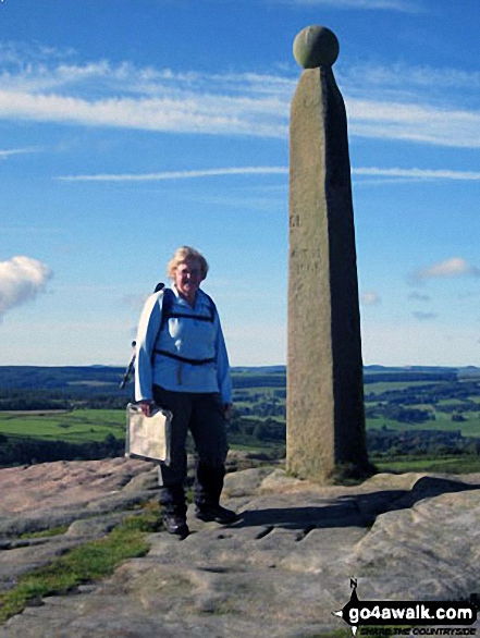
41. Nelson's Monument (Birchen Edge)
302m (991ft)
See the location of Nelson's Monument (Birchen Edge) and walks up it on a google Map Nelson's Monument (Birchen Edge) is on interactive maps:
Nelson's Monument (Birchen Edge) is on Peak Bagging Map and Hill Tick List: |
42. Mynydd Rhyd-galed
502m (1,647ft)
See the location of Mynydd Rhyd-galed and walks up it on a google Map Mynydd Rhyd-galed is on interactive maps:
Mynydd Rhyd-galed is on Peak Bagging Map and Hill Tick List: |
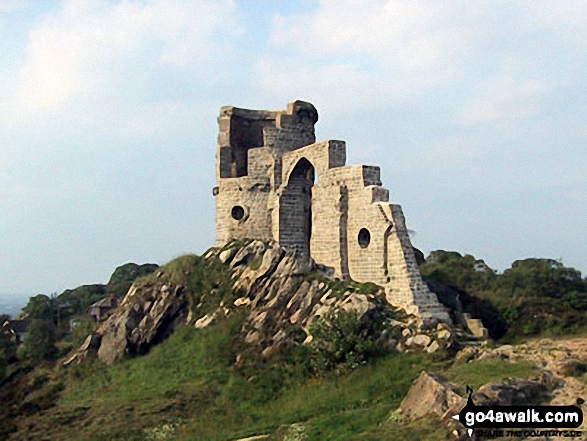
43. Mow Cop (Old Man of Mow)
335m (1,099ft)
See the location of Mow Cop (Old Man of Mow) and walks up it on a google Map Mow Cop (Old Man of Mow) is on interactive maps:
Mow Cop (Old Man of Mow) is on Peak Bagging Map and Hill Tick List: |
44. Mount Famine
473m (1,552ft)
See the location of Mount Famine and walks up it on a google Map Mount Famine is on interactive maps:
Mount Famine is on Peak Bagging Map and Hill Tick List: |
45. Moel Famau
555m (1,821ft)
See the location of Moel Famau and walks up it on a google Map Moel Famau is on interactive maps:
A go4awalk.com Peak Bagging Map and Hill Tick List featuring Moel Famau will be available soon. |
46. Mill Hill (Ashop Head)
544m (1,785ft)
See the location of Mill Hill (Ashop Head) and walks up it on a google Map Mill Hill (Ashop Head) is on interactive maps:
Mill Hill (Ashop Head) is on Peak Bagging Map and Hill Tick List: |
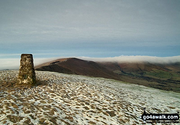
47. Mam Tor
517m (1,696ft)
See the location of Mam Tor and walks up it on a google Map Mam Tor is on interactive maps:
Mam Tor is on Peak Bagging Map and Hill Tick List: |
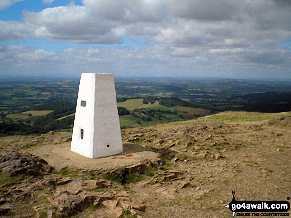
48. Malvern (Worcestershire Beacon)
425m (1,395ft)
See the location of Malvern (Worcestershire Beacon) and walks up it on a google Map Malvern (Worcestershire Beacon) is on interactive maps:
A go4awalk.com Peak Bagging Map and Hill Tick List featuring Malvern (Worcestershire Beacon) will be available soon. |
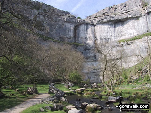
49. Malham Cove
319m (1,047ft)
See the location of Malham Cove and walks up it on a google Map Malham Cove is on interactive maps:
Malham Cove is on Peak Bagging Map and Hill Tick List: |
50. Mabbin Crag
482m (1,581ft)
See the location of Mabbin Crag and walks up it on a google Map Mabbin Crag is on interactive maps:
A go4awalk.com Peak Bagging Map and Hill Tick List featuring Mabbin Crag will be available soon. |
51. Low Kop
572m (1,877ft)
See the location of Low Kop and walks up it on a google Map Low Kop is on interactive maps:
Low Kop is on Peak Bagging Map and Hill Tick List: *Version including the walk routes marked on it that you need to follow to Walk all 214 Wainwrights in just 59 walks. |
52. Lose Hill (Ward's Piece)
476m (1,562ft)
See the location of Lose Hill (Ward's Piece) and walks up it on a google Map Lose Hill (Ward's Piece) is on interactive maps:
Lose Hill (Ward's Piece) is on Peak Bagging Map and Hill Tick List: |
53. Lord's Seat (Rushup Edge)
546m (1,791ft)
See the location of Lord's Seat (Rushup Edge) and walks up it on a google Map Lord's Seat (Rushup Edge) is on interactive maps:
Lord's Seat (Rushup Edge) is on Peak Bagging Map and Hill Tick List: |
54. Leith Hill
295m (968ft)
See the location of Leith Hill and walks up it on a google Map Leith Hill is on interactive maps:
A go4awalk.com Peak Bagging Map and Hill Tick List featuring Leith Hill will be available soon. |
55. Lang How
414m (1,359ft)
See the location of Lang How and walks up it on a google Map Lang How is on interactive maps:
Lang How is on Peak Bagging Map and Hill Tick List: *Version including the walk routes marked on it that you need to follow to Walk all 214 Wainwrights in just 59 walks. |
56. Kisdon
499m (1,638ft)
See the location of Kisdon and walks up it on a google Map Kisdon is on interactive maps:
Kisdon is on Peak Bagging Map and Hill Tick List: |
57. Kensgriff
574m (1,883ft)
See the location of Kensgriff and walks up it on a google Map Kensgriff is on interactive maps:
Kensgriff is on Peak Bagging Map and Hill Tick List: |
58. Hownam Law
449m (1,474ft)
See the location of Hownam Law and walks up it on a google Map Hownam Law is on interactive maps:
A go4awalk.com Peak Bagging Map and Hill Tick List featuring Hownam Law will be available soon. |
59. High Snockrigg
526m (1,726ft)
See the location of High Snockrigg and walks up it on a google Map High Snockrigg is on interactive maps:
High Snockrigg is on Peak Bagging Map and Hill Tick List: *Version including the walk routes marked on it that you need to follow to Walk all 214 Wainwrights in just 59 walks. |
60. High Neb (Stanage Edge)
458m (1,503ft)
See the location of High Neb (Stanage Edge) and walks up it on a google Map High Neb (Stanage Edge) is on interactive maps:
High Neb (Stanage Edge) is on Peak Bagging Map and Hill Tick List: |
View all 0 Mountains, Peaks, Tops and Hills in Little Hills with a Big, Big ViewThe Peak District:
- On an Interactive Google Map (loads faster)
- On an Interactive Google Map with a list of tops below it (makes it easier to locate a particular top)
- On a Detailed List in:
Alphabetical Order | Height Order - On one page with 'yet-to-be-bagged' listed 1st & then 'already-bagged' tops listed 2nd in:
Alphabetical Order | Height Order (must be logged on) - On one page with 'already-bagged' tops listed 1st & then 'yet-to-be-bagged' tops listed 2nd in:
Alphabetical Order | Height Order (must be logged on)
Is there a Mountain, Peak, Top or Hill missing from the above google map or list?
Let us know an we will add it to our database.

