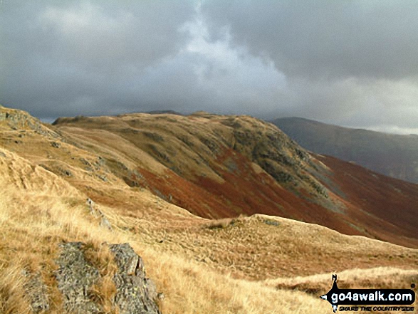
All The Mountains, Peaks, Tops and Hills in the North West region of England as a detailed list
The North West region of England comprises the traditional counties of Cheshire, Cumbria, Greater Manchester, Lancashire and Mersyside and includes The Lake District National Park, The Forest of Bowland, parts of The Yorkshire Dales National Park and parts of the Peak District National Park.
If you include all the Mountains (Hewitts), the Deweys, the Nuttalls, the Marilyns, the Bridgets (Hills) and all the Mountains, Tops, Peaks and Hills with a Trig Point on them there are 463 tops to climb, bag & conquer and the highest point is Scafell Pike at 978m (3,210ft).
![]() Your Personal Bagging Record for North West
Your Personal Bagging Record for North West
When logged on, you can mark each Mountain, Peak, Top or Hill as 'bagged' by either:
- if you opt to display the tops in this area using a google map, click or tap on its symbol on the map below. This will open a text window. Click or tap on the 'Record [mountain name] as Bagged, Climbed & Conquered' link towards the bottom of the text window, or
- if you opt to display the tops in this area as a list, click or tap on the red 'not yet' symbol to the right of the name of each 'top'
Either method will open a new page where you can complete all your details such as:
- when you bagged the Mountain, Peak, Top or Hill;
- which route you took
- who you went with
- what the weather was like
- any other comment that will remind you of the day
Once you have completed your details and click or tap the submit button, you will automatically return to this page and the top you bagged will show with a green tick.
NB. None of the above fields are 'mandatory' - you can leave them blank if you wish.
NNB. You also have the option whether to display your peak bagging exploits to other users of this site or keep them private so only you can see them when you are logged on.
Furthermore, since you can also access your Personal Mountain & Hill Bagging Record via go4awalk Mobile you can quickly & easily record, edit and view your achievements - whether you are at home/work on your desktop computer or in the pub/at the top of a mountain with your Mobile Phone. (You can even download your Personal Mountain & Hill Bagging Record as a .csv file for importing into and saving with spreadsheet software like Excel or NeoOffice!)
This facility costs one credit to initially access your personal bagging record. Once accessed, all other interactions, such as recording other Mountains, Peaks, Tops and Hills as 'bagged' or altering an existing bagging record, are free.
Click REGISTER to register and purchase credits.
LOG ON and RELOAD this page to show which Mountains, Peaks, Tops and Hills you have already climbed, bagged & conquered. [ . . . remove this text]
See this list in: Alphabetical Order
| Height Order‡
To reverse the order select the link again.
Mountain, Peak, Top or Hill:
Bagged

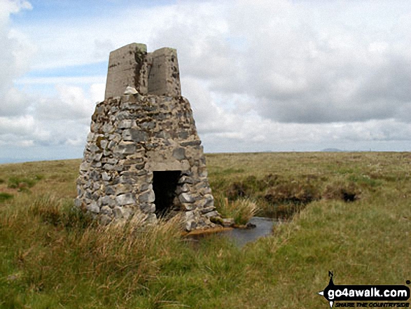
![]()
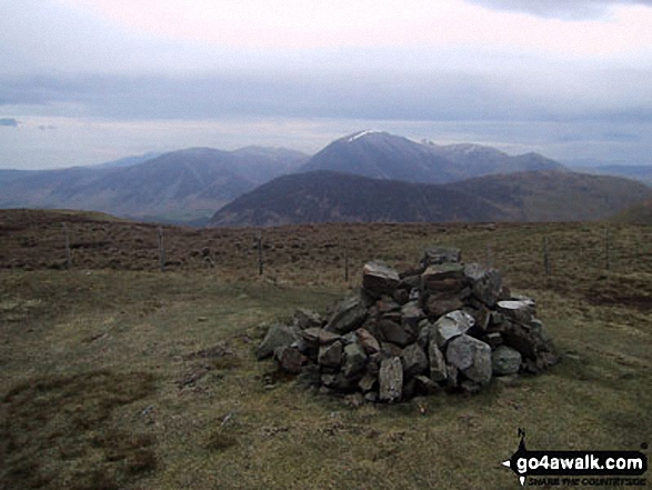
271. Nateby Common (Tailbridge Hill)
547m (1,795ft)
Nateby Common (Tailbridge Hill) is on interactive maps:
Nateby Common (Tailbridge Hill) is on downloadable PDF you can Print or Save to your Phone: |
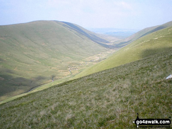
![]()
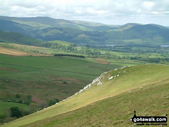
272. Whetstone Ridge
547m (1,795ft)
Whetstone Ridge is on interactive maps:
Whetstone Ridge is on downloadable PDF you can Print or Save to your Phone: |

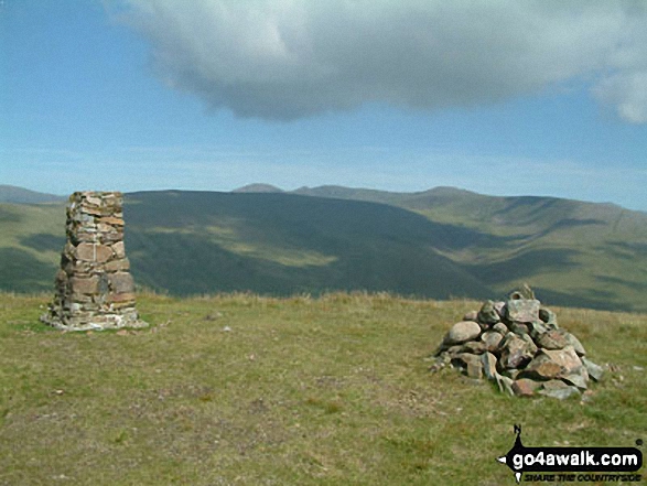
![]()
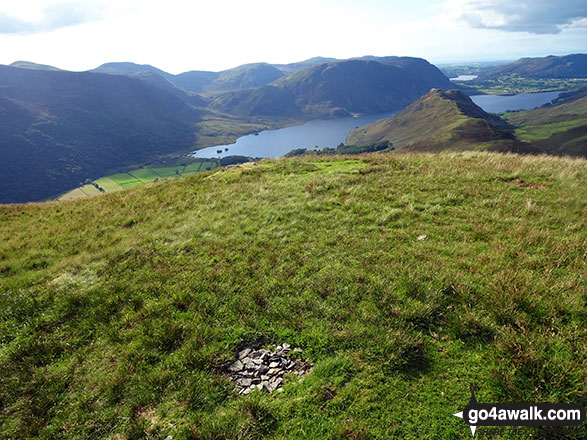
273. Hard Rigg (Mohope Moor)
546m (1,792ft)
Send it in and we'll publish it here.
Hard Rigg (Mohope Moor) is on interactive maps:
Hard Rigg (Mohope Moor) is on downloadable PDF you can Print or Save to your Phone: |
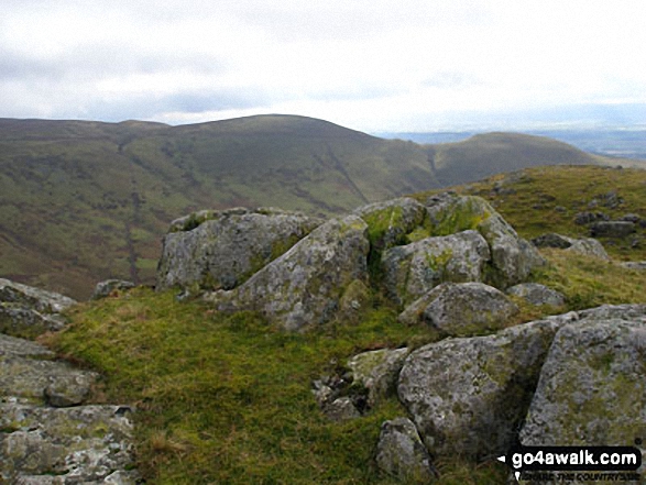
![]()
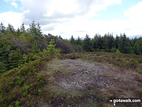
274. Buck Barrow
545m (1,788ft)
Buck Barrow is on interactive maps:
A downloadable go4awalk.com PDF Peak Bagging Map featuring Buck Barrow will be available soon. |
![]()
275. Carling Knott
544m (1,785ft)
Carling Knott is on interactive maps:
Carling Knott is on downloadable PDF you can Print or Save to your Phone: *Version including the walk routes marked on it that you need to follow to Walk all 214 Wainwrights in just 59 walks. |

![]()
276. White Hill (Forest of Bowland)
544m (1,785ft)
White Hill (Forest of Bowland) is on interactive maps:
White Hill (Forest of Bowland) is on downloadable PDF you can Print or Save to your Phone: |
![]()
277. West Fell
542m (1,779ft)
West Fell is on interactive maps:
West Fell is on downloadable PDF you can Print or Save to your Phone: |
![]()
278. Lank Rigg
541m (1,775ft)
Lank Rigg is on interactive maps:
Lank Rigg is on downloadable PDF you can Print or Save to your Phone: *Version including the walk routes marked on it that you need to follow to Walk all 214 Wainwrights in just 59 walks. |
![]()
279. Cuns Fell
539m (1,769ft)
Cuns Fell is on interactive maps:
Cuns Fell is on downloadable PDF you can Print or Save to your Phone: |
![]()
280. Calf Crag
537m (1,762ft)
Calf Crag is on interactive maps:
Calf Crag is on downloadable PDF you can Print or Save to your Phone: *Version including the walk routes marked on it that you need to follow to Walk all 214 Wainwrights in just 59 walks. |
![]()
281. Great Mell Fell
537m (1,762ft)
Great Mell Fell is on interactive maps:
Great Mell Fell is on downloadable PDF you can Print or Save to your Phone: *Version including the walk routes marked on it that you need to follow to Walk all 214 Wainwrights in just 59 walks. |
![]()
282. Castle Knott
536m (1,759ft)
Castle Knott is on interactive maps:
Castle Knott is on downloadable PDF you can Print or Save to your Phone: |
![]()
283. Whin Rigg
535m (1,756ft)
Whin Rigg is on interactive maps:
Whin Rigg is on downloadable PDF you can Print or Save to your Phone: *Version including the walk routes marked on it that you need to follow to Walk all 214 Wainwrights in just 59 walks. |
![]()
284. Uldale Head (Howgills)
532m (1,746ft)
Uldale Head (Howgills) is on interactive maps:
Uldale Head (Howgills) is on downloadable PDF you can Print or Save to your Phone: |
![]()
285. High Wether Howe
531m (1,743ft)
High Wether Howe is on interactive maps:
A downloadable go4awalk.com PDF Peak Bagging Map featuring High Wether Howe will be available soon. |

![]()
286. Docker Knott
530m (1,739ft)
Docker Knott is on interactive maps:
Docker Knott is on downloadable PDF you can Print or Save to your Phone: |
![]()
287. White Howe (Bannisdale)
530m (1,739ft)
White Howe (Bannisdale) is on interactive maps:
A downloadable go4awalk.com PDF Peak Bagging Map featuring White Howe (Bannisdale) will be available soon. |
![]()
288. Caw (Dunnerdale Fells)
529m (1,736ft)
Caw (Dunnerdale Fells) is on interactive maps:
A downloadable go4awalk.com PDF Peak Bagging Map featuring Caw (Dunnerdale Fells) will be available soon. |
![]()
289. Wolfhole Crag
528m (1,733ft)
Wolfhole Crag is on interactive maps:
Wolfhole Crag is on downloadable PDF you can Print or Save to your Phone: |
![]()
290. Green Crag (Buttermere)
528m (1,732ft)
Green Crag (Buttermere) is on interactive maps:
Green Crag (Buttermere) is on downloadable PDF you can Print or Save to your Phone: *Version including the walk routes marked on it that you need to follow to Walk all 214 Wainwrights in just 59 walks. |
![]()
291. The Forest (Bannisdale)
528m (1,732ft)
The Forest (Bannisdale) is on interactive maps:
A downloadable go4awalk.com PDF Peak Bagging Map featuring The Forest (Bannisdale) will be available soon. |
![]()
292. Gavel Fell
526m (1,726ft)
Gavel Fell is on interactive maps:
Gavel Fell is on downloadable PDF you can Print or Save to your Phone: *Version including the walk routes marked on it that you need to follow to Walk all 214 Wainwrights in just 59 walks. |
![]()
293. Great Cockup
526m (1,726ft)
Great Cockup is on interactive maps:
Great Cockup is on downloadable PDF you can Print or Save to your Phone: *Version including the walk routes marked on it that you need to follow to Walk all 214 Wainwrights in just 59 walks. |
![]()
294. High Snockrigg
526m (1,726ft)
High Snockrigg is on interactive maps:
High Snockrigg is on downloadable PDF you can Print or Save to your Phone: *Version including the walk routes marked on it that you need to follow to Walk all 214 Wainwrights in just 59 walks. |
![]()
295. Ullister Hill
525m (1,723ft)
Ullister Hill is on interactive maps:
Ullister Hill is on downloadable PDF you can Print or Save to your Phone: *Version including the walk routes marked on it that you need to follow to Walk all 214 Wainwrights in just 59 walks. |
![]()
296. Whinlatter (Whinlatter Top)
525m (1,723ft)
Whinlatter (Whinlatter Top) is on interactive maps:
Whinlatter (Whinlatter Top) is on downloadable PDF you can Print or Save to your Phone: *Version including the walk routes marked on it that you need to follow to Walk all 214 Wainwrights in just 59 walks. |
![]()
297. Lord's Seat (Crookdale)
524m (1,720ft)
Lord's Seat (Crookdale) is on interactive maps:
A downloadable go4awalk.com PDF Peak Bagging Map featuring Lord's Seat (Crookdale) will be available soon. |
![]()
298. Crag Fell
523m (1,716ft)
Crag Fell is on interactive maps:
Crag Fell is on downloadable PDF you can Print or Save to your Phone: *Version including the walk routes marked on it that you need to follow to Walk all 214 Wainwrights in just 59 walks. |
![]()
299. Cats Tor
522m (1,713ft)
Cats Tor is on interactive maps:
Cats Tor is on downloadable PDF you can Print or Save to your Phone: |
![]()
300. Great How (Eskdale Fell)
522m (1,713ft)
Great How (Eskdale Fell) is on interactive maps:
Great How (Eskdale Fell) is on downloadable PDF you can Print or Save to your Phone: *Version including the walk routes marked on it that you need to follow to Walk all 214 Wainwrights in just 59 walks. |
Is there a Mountain, Peak, Top or Hill missing from the above google map or list?
Let us know an we will add it to our database.
To contribute to go4awalk.com or to contact us about anything at all - see Talk To Us.
For help see Help.
go4awalk.com and go4awalk.co.uk are registered trademarks of TMDH Limited.
Copyright © 2000-2025 TMDH Limited. All rights reserved.
Copyright Terms & Conditions Privacy Statement
A - Z Walks Home Log On/Accounts Photo Gallery Walk Ideas and Collections Fell Facts Hill Skills Walking Questions and Answers Your Stories News Competitions Product Reviews/Gear Tests Walking Gear Guides Peaks and Mountains Peak Bagging Find New Walking Friends Camping GPS Waypoints for Walking Contents Walk Search Talk To Us go4awalk.com Help Free Example Walks Newsletter


