The Mountains, Peaks, Tops and Hills in Scotland as a detailed list
If you count only the Munros there are 282 tops to climb, bag & conquer and the highest point is Ben Nevis at 1,344m (4,411ft).
![]() Your Personal Bagging Record for Scotland
Your Personal Bagging Record for Scotland
When logged on, you can mark each Mountain, Peak, Top or Hill as 'bagged' by either:
- if you opt to display the tops in this area using a google map, click or tap on its symbol on the map below. This will open a text window. Click or tap on the 'Record [mountain name] as Bagged, Climbed & Conquered' link towards the bottom of the text window, or
- if you opt to display the tops in this area as a list, click or tap on the red 'not yet' symbol to the right of the name of each 'top'
Either method will open a new page where you can complete all your details such as:
- when you bagged the Mountain, Peak, Top or Hill;
- which route you took
- who you went with
- what the weather was like
- any other comment that will remind you of the day
Once you have completed your details and click or tap the submit button, you will automatically return to this page and the top you bagged will show with a green tick.
NB. None of the above fields are 'mandatory' - you can leave them blank if you wish.
NNB. You also have the option whether to display your peak bagging exploits to other users of this site or keep them private so only you can see them when you are logged on.
Furthermore, since you can also access your Personal Mountain & Hill Bagging Record via go4awalk Mobile you can quickly & easily record, edit and view your achievements - whether you are at home/work on your desktop computer or in the pub/at the top of a mountain with your Mobile Phone. (You can even download your Personal Mountain & Hill Bagging Record as a .csv file for importing into and saving with spreadsheet software like Excel or NeoOffice!)
This facility costs one credit to initially access your personal bagging record. Once accessed, all other interactions, such as recording other Mountains, Peaks, Tops and Hills as 'bagged' or altering an existing bagging record, are free.
Click REGISTER to register and purchase credits.
LOG ON and RELOAD this page to show which Mountains, Peaks, Tops and Hills you have already climbed, bagged & conquered. [ . . . remove this text]
See this list in: Alphabetical Order
| Height Order‡
To reverse the order select the link again.
Mountain, Peak, Top or Hill:
Bagged

![]()
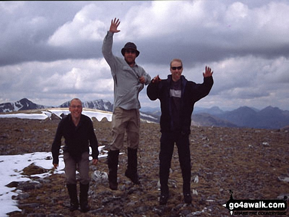
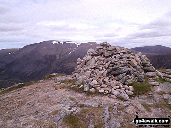
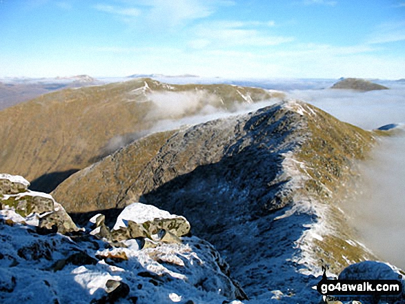
121. Sgurr an Doire Leathain
1,010m (3,315ft)
Send it in and we'll publish it here.
Sgurr an Doire Leathain is on interactive maps:
A downloadable go4awalk.com PDF Peak Bagging Map featuring Sgurr an Doire Leathain will be available soon. |
![]()
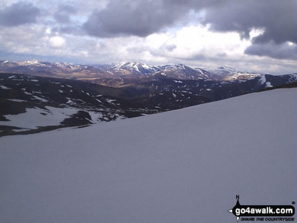
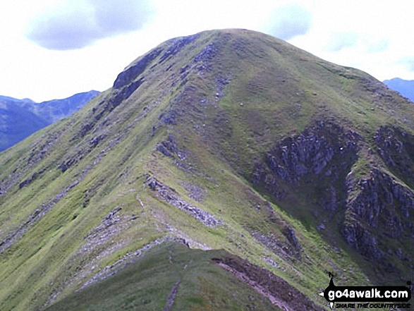
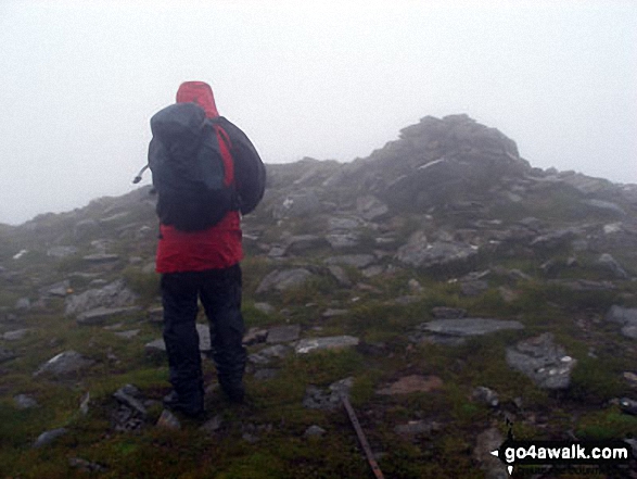
122. Sgurr Eilde Mor
1,010m (3,315ft)
Sgurr Eilde Mor is on interactive maps:
A downloadable go4awalk.com PDF Peak Bagging Map featuring Sgurr Eilde Mor will be available soon. |
![]()
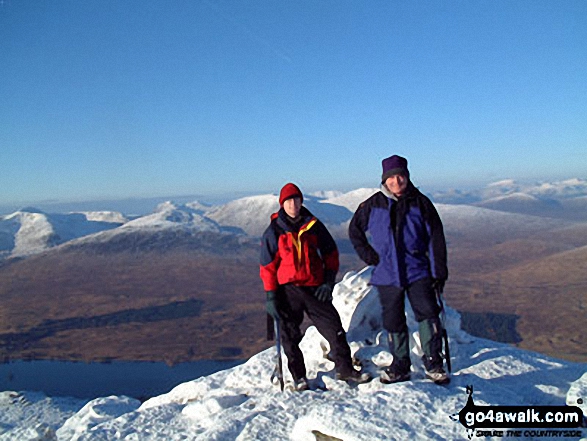
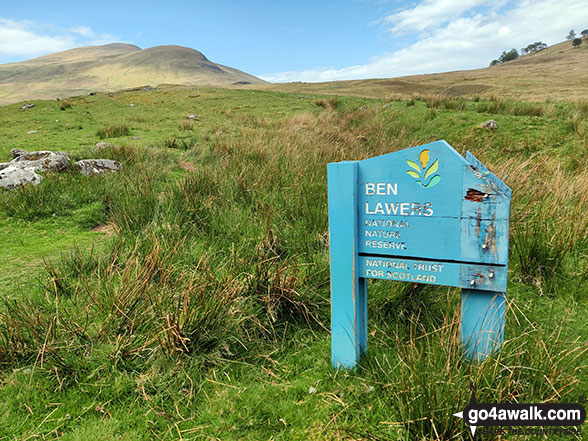
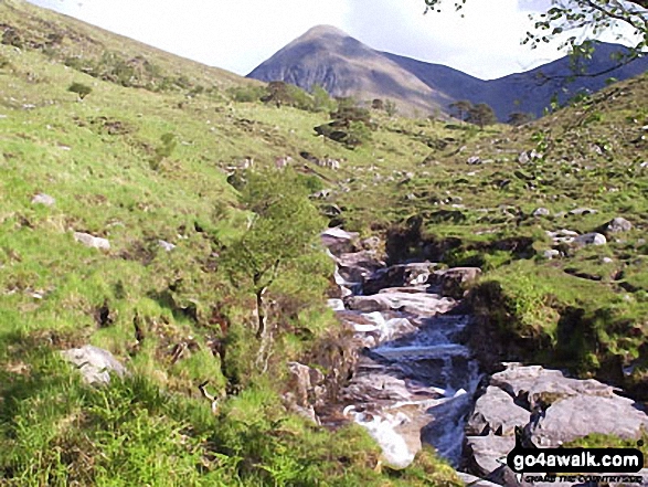
123. Beinn Udlamain
1,010m (3,314ft)
Beinn Udlamain is on interactive maps:
A downloadable go4awalk.com PDF Peak Bagging Map featuring Beinn Udlamain will be available soon. |
![]()
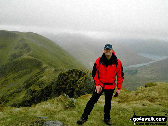
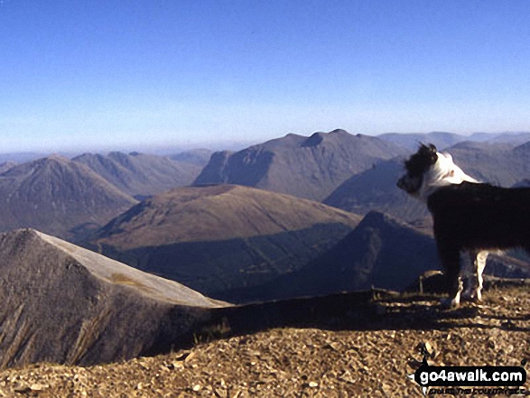
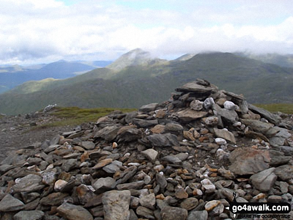
124. Beinn Dearg (The Tarf and Tilt Hills)
1,008m (3,308ft)
Send it in and we'll publish it here.
Beinn Dearg (The Tarf and Tilt Hills) is on interactive maps:
A downloadable go4awalk.com PDF Peak Bagging Map featuring Beinn Dearg (The Tarf and Tilt Hills) will be available soon. |
![]()
125. Maoile Lunndaidh
1,004m (3,305ft)
Maoile Lunndaidh is on interactive maps:
A downloadable go4awalk.com PDF Peak Bagging Map featuring Maoile Lunndaidh will be available soon. |
![]()
126. An Sgarsoch
1,006m (3,302ft)
An Sgarsoch is on interactive maps:
A downloadable go4awalk.com PDF Peak Bagging Map featuring An Sgarsoch will be available soon. |
![]()
127. Carn Liath (Loch Laggan)
1,006m (3,302ft)
Send it in and we'll publish it here.
Carn Liath (Loch Laggan) is on interactive maps:
A downloadable go4awalk.com PDF Peak Bagging Map featuring Carn Liath (Loch Laggan) will be available soon. |
![]()
128. Beinn Fhionnlaidh (West Benula Forest)
1,005m (3,298ft)
Send it in and we'll publish it here.
Beinn Fhionnlaidh (West Benula Forest) is on interactive maps:
A downloadable go4awalk.com PDF Peak Bagging Map featuring Beinn Fhionnlaidh (West Benula Forest) will be available soon. |
![]()
129. Beinn an Dothaidh
1,004m (3,295ft)
Beinn an Dothaidh is on interactive maps:
A downloadable go4awalk.com PDF Peak Bagging Map featuring Beinn an Dothaidh will be available soon. |
![]()
130. Sgurr an Lochain (Glen Shiel)
1,004m (3,295ft)
Sgurr an Lochain (Glen Shiel) is on interactive maps:
A downloadable go4awalk.com PDF Peak Bagging Map featuring Sgurr an Lochain (Glen Shiel) will be available soon. |
![]()
131. The Devil's Point
1,004m (3,295ft)
The Devil's Point is on interactive maps:
A downloadable go4awalk.com PDF Peak Bagging Map featuring The Devil's Point will be available soon. |
![]()
132. Sgurr Mor (Glen Kingie)
1,003m (3,292ft)
Send it in and we'll publish it here.
Sgurr Mor (Glen Kingie) is on interactive maps:
A downloadable go4awalk.com PDF Peak Bagging Map featuring Sgurr Mor (Glen Kingie) will be available soon. |
![]()
133. Sail Chaorainn
1,002m (3,289ft)
Sail Chaorainn is on interactive maps:
A downloadable go4awalk.com PDF Peak Bagging Map featuring Sail Chaorainn will be available soon. |
![]()
134. Sgurr na Carnach
1,002m (3,289ft)
Sgurr na Carnach is on interactive maps:
A downloadable go4awalk.com PDF Peak Bagging Map featuring Sgurr na Carnach will be available soon. |
![]()
135. Aonach Meadhoin
1,001m (3,285ft)
Aonach Meadhoin is on interactive maps:
A downloadable go4awalk.com PDF Peak Bagging Map featuring Aonach Meadhoin will be available soon. |
![]()
136. Meall Greigh
1,001m (3,285ft)
Meall Greigh is on interactive maps:
A downloadable go4awalk.com PDF Peak Bagging Map featuring Meall Greigh will be available soon. |
![]()
137. Sgorr Dhonuill (Beinn a' Bheithir)
1,001m (3,285ft)
Sgorr Dhonuill (Beinn a' Bheithir) is on interactive maps:
A downloadable go4awalk.com PDF Peak Bagging Map featuring Sgorr Dhonuill (Beinn a' Bheithir) will be available soon. |
![]()
138. Sgurr Breac
999m (3,279ft)
Sgurr Breac is on interactive maps:
A downloadable go4awalk.com PDF Peak Bagging Map featuring Sgurr Breac will be available soon. |
![]()
139. Sgurr Choinnich
999m (3,279ft)
Sgurr Choinnich is on interactive maps:
A downloadable go4awalk.com PDF Peak Bagging Map featuring Sgurr Choinnich will be available soon. |
![]()
140. Stob Ban (Mamores)
999m (3,279ft)
Stob Ban (Mamores) is on interactive maps:
A downloadable go4awalk.com PDF Peak Bagging Map featuring Stob Ban (Mamores) will be available soon. |
![]()
141. Ben More Assynt
998m (3,275ft)
Ben More Assynt is on interactive maps:
A downloadable go4awalk.com PDF Peak Bagging Map featuring Ben More Assynt will be available soon. |
![]()
142. Broad Cairn
998m (3,275ft)
Broad Cairn is on interactive maps:
A downloadable go4awalk.com PDF Peak Bagging Map featuring Broad Cairn will be available soon. |
![]()
143. Stob Diamh
998m (3,275ft)
Stob Diamh is on interactive maps:
A downloadable go4awalk.com PDF Peak Bagging Map featuring Stob Diamh will be available soon. |
![]()
144. A' Chailleach (Wester Ross)
997m (3,272ft)
A' Chailleach (Wester Ross) is on interactive maps:
A downloadable go4awalk.com PDF Peak Bagging Map featuring A' Chailleach (Wester Ross) will be available soon. |
![]()
145. Glas Bheinn Mhor (Glen Etive)
997m (3,272ft)
Glas Bheinn Mhor (Glen Etive) is on interactive maps:
A downloadable go4awalk.com PDF Peak Bagging Map featuring Glas Bheinn Mhor (Glen Etive) will be available soon. |
![]()
146. Spidean Mialach
996m (3,269ft)
Spidean Mialach is on interactive maps:
A downloadable go4awalk.com PDF Peak Bagging Map featuring Spidean Mialach will be available soon. |
![]()
147. An Caisteal (Glen Falloch)
995m (3,266ft)
An Caisteal (Glen Falloch) is on interactive maps:
A downloadable go4awalk.com PDF Peak Bagging Map featuring An Caisteal (Glen Falloch) will be available soon. |
![]()
148. Carn an Fhidhleir (Carn Ealar)
994m (3,262ft)
Send it in and we'll publish it here.
Carn an Fhidhleir (Carn Ealar) is on interactive maps:
A downloadable go4awalk.com PDF Peak Bagging Map featuring Carn an Fhidhleir (Carn Ealar) will be available soon. |
![]()
149. Sgurr na h-Ulaidh
994m (3,262ft)
Sgurr na h-Ulaidh is on interactive maps:
A downloadable go4awalk.com PDF Peak Bagging Map featuring Sgurr na h-Ulaidh will be available soon. |
![]()
150. Sgurr na Ruaidhe
993m (3,259ft)
Sgurr na Ruaidhe is on interactive maps:
A downloadable go4awalk.com PDF Peak Bagging Map featuring Sgurr na Ruaidhe will be available soon. |
Is there a Mountain, Peak, Top or Hill missing from the above google map or list?
Let us know an we will add it to our database.
To contribute to go4awalk.com or to contact us about anything at all - see Talk To Us.
For help see Help.
go4awalk.com and go4awalk.co.uk are registered trademarks of TMDH Limited.
Copyright © 2000-2025 TMDH Limited. All rights reserved.
Copyright Terms & Conditions Privacy Statement
A - Z Walks Home Log On/Accounts Photo Gallery Walk Ideas and Collections Fell Facts Hill Skills Walking Questions and Answers Your Stories News Competitions Product Reviews/Gear Tests Walking Gear Guides Peaks and Mountains Peak Bagging Find New Walking Friends Camping GPS Waypoints for Walking Contents Walk Search Talk To Us go4awalk.com Help Free Example Walks Newsletter


