The Mountains, Peaks, Tops and Hills in Scotland as a detailed list
If you count only the Munros there are 282 tops to climb, bag & conquer and the highest point is Ben Nevis at 1,344m (4,411ft).
![]() Your Personal Bagging Record for Scotland
Your Personal Bagging Record for Scotland
When logged on, you can mark each Mountain, Peak, Top or Hill as 'bagged' by either:
- if you opt to display the tops in this area using a google map, click or tap on its symbol on the map below. This will open a text window. Click or tap on the 'Record [mountain name] as Bagged, Climbed & Conquered' link towards the bottom of the text window, or
- if you opt to display the tops in this area as a list, click or tap on the red 'not yet' symbol to the right of the name of each 'top'
Either method will open a new page where you can complete all your details such as:
- when you bagged the Mountain, Peak, Top or Hill;
- which route you took
- who you went with
- what the weather was like
- any other comment that will remind you of the day
Once you have completed your details and click or tap the submit button, you will automatically return to this page and the top you bagged will show with a green tick.
NB. None of the above fields are 'mandatory' - you can leave them blank if you wish.
NNB. You also have the option whether to display your peak bagging exploits to other users of this site or keep them private so only you can see them when you are logged on.
Furthermore, since you can also access your Personal Mountain & Hill Bagging Record via go4awalk Mobile you can quickly & easily record, edit and view your achievements - whether you are at home/work on your desktop computer or in the pub/at the top of a mountain with your Mobile Phone. (You can even download your Personal Mountain & Hill Bagging Record as a .csv file for importing into and saving with spreadsheet software like Excel or NeoOffice!)
This facility costs one credit to initially access your personal bagging record. Once accessed, all other interactions, such as recording other Mountains, Peaks, Tops and Hills as 'bagged' or altering an existing bagging record, are free.
Click REGISTER to register and purchase credits.
LOG ON and RELOAD this page to show which Mountains, Peaks, Tops and Hills you have already climbed, bagged & conquered. [ . . . remove this text]
See this list in: Alphabetical Order
| Height Order‡
To reverse the order select the link again.
Mountain, Peak, Top or Hill:
Bagged

![]()
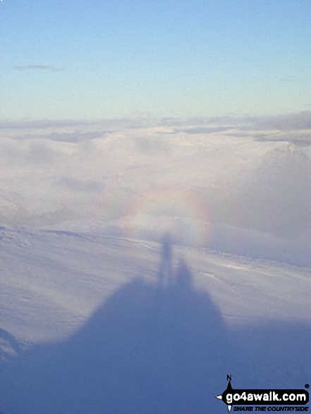
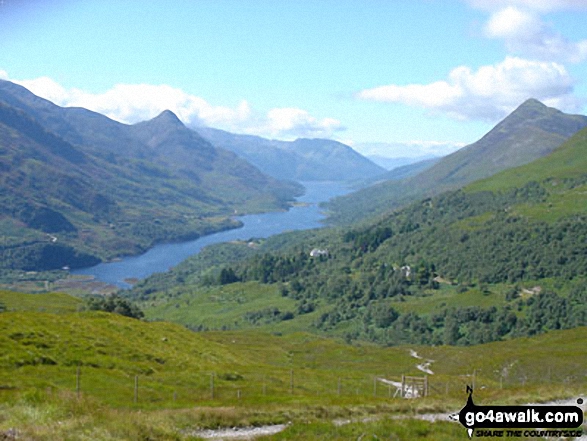
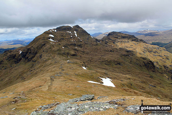
61. Beinn a' Chreachain (Loch Lyon)
1,081m (3,548ft)
Send it in and we'll publish it here.
Beinn a' Chreachain (Loch Lyon) is on interactive maps:
A downloadable go4awalk.com PDF Peak Bagging Map featuring Beinn a' Chreachain (Loch Lyon) will be available soon. |
![]()
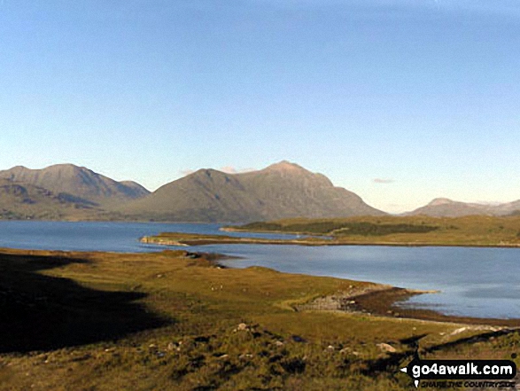
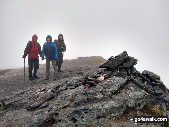
62. Beinn Heasgarnich (Beinn Sheasgarnaich)
1,078m (3,538ft)
Beinn Heasgarnich (Beinn Sheasgarnaich) is on interactive maps:
A downloadable go4awalk.com PDF Peak Bagging Map featuring Beinn Heasgarnich (Beinn Sheasgarnaich) will be available soon. |
![]()
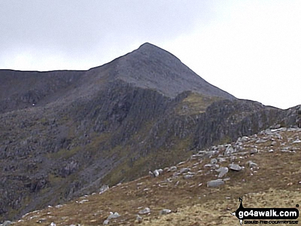
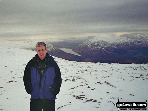
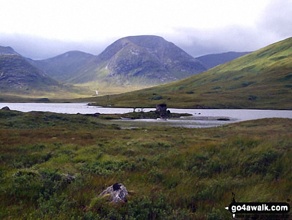
63. Ben Starav
1,078m (3,538ft)
Ben Starav is on interactive maps:
A downloadable go4awalk.com PDF Peak Bagging Map featuring Ben Starav will be available soon. |
![]()
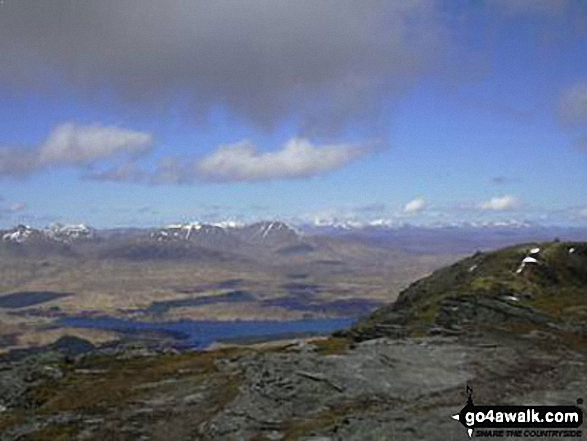
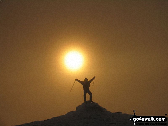
64. Beinn Dorain (Beinn na Caillich)
1,076m (3,531ft)
Beinn Dorain (Beinn na Caillich) is on interactive maps:
A downloadable go4awalk.com PDF Peak Bagging Map featuring Beinn Dorain (Beinn na Caillich) will be available soon. |
![]()
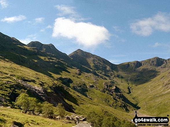
65. Stob Coire Sgreamhach
1,072m (3,518ft)
Stob Coire Sgreamhach is on interactive maps:
A downloadable go4awalk.com PDF Peak Bagging Map featuring Stob Coire Sgreamhach will be available soon. |
![]()
66. Braigh Coire Chruinn-bhalgain
1,070m (3,512ft)
Braigh Coire Chruinn-bhalgain is on interactive maps:
A downloadable go4awalk.com PDF Peak Bagging Map featuring Braigh Coire Chruinn-bhalgain will be available soon. |
![]()
67. An Socach (Loch Mullardoch)
1,069m (3,508ft)
Send it in and we'll publish it here.
An Socach (Loch Mullardoch) is on interactive maps:
A downloadable go4awalk.com PDF Peak Bagging Map featuring An Socach (Loch Mullardoch) will be available soon. |
![]()
68. Meall Corranaich
1,069m (3,508ft)
Meall Corranaich is on interactive maps:
A downloadable go4awalk.com PDF Peak Bagging Map featuring Meall Corranaich will be available soon. |
![]()
69. Glas Maol
1,068m (3,505ft)
Glas Maol is on interactive maps:
A downloadable go4awalk.com PDF Peak Bagging Map featuring Glas Maol will be available soon. |
![]()
70. Sgurr Fhuaran
1,067m (3,502ft)
Sgurr Fhuaran is on interactive maps:
A downloadable go4awalk.com PDF Peak Bagging Map featuring Sgurr Fhuaran will be available soon. |
![]()
71. Cairn of Claise
1,064m (3,492ft)
Cairn of Claise is on interactive maps:
A downloadable go4awalk.com PDF Peak Bagging Map featuring Cairn of Claise will be available soon. |
![]()
72. An Teallach (Bidein a' Ghlas Thuil)
1,062m (3,485ft)
An Teallach (Bidein a' Ghlas Thuil) is on interactive maps:
A downloadable go4awalk.com PDF Peak Bagging Map featuring An Teallach (Bidein a' Ghlas Thuil) will be available soon. |
![]()
73. Sgurr Fiona (An Teallach)
1,060m (3,479ft)
Send it in and we'll publish it here.
Sgurr Fiona (An Teallach) is on interactive maps:
A downloadable go4awalk.com PDF Peak Bagging Map featuring Sgurr Fiona (An Teallach) will be available soon. |
![]()
74. Na Gruagaichean
1,056m (3,466ft)
Na Gruagaichean is on interactive maps:
A downloadable go4awalk.com PDF Peak Bagging Map featuring Na Gruagaichean will be available soon. |
![]()
75. Spidean a' Choire Leith (Liathach)
1,055m (3,463ft)
Spidean a' Choire Leith (Liathach) is on interactive maps:
A downloadable go4awalk.com PDF Peak Bagging Map featuring Spidean a' Choire Leith (Liathach) will be available soon. |
![]()
76. Stob Poite Coire Ardair
1,054m (3,459ft)
Send it in and we'll publish it here.
Stob Poite Coire Ardair is on interactive maps:
A downloadable go4awalk.com PDF Peak Bagging Map featuring Stob Poite Coire Ardair will be available soon. |
![]()
77. Toll Creagach
1,054m (3,459ft)
Toll Creagach is on interactive maps:
A downloadable go4awalk.com PDF Peak Bagging Map featuring Toll Creagach will be available soon. |
![]()
78. Sgurr a' Chaorachain (West Monar Forest)
1,053m (3,456ft)
Send it in and we'll publish it here.
Sgurr a' Chaorachain (West Monar Forest) is on interactive maps:
A downloadable go4awalk.com PDF Peak Bagging Map featuring Sgurr a' Chaorachain (West Monar Forest) will be available soon. |
![]()
79. Glas Tulaichean
1,051m (3,449ft)
Glas Tulaichean is on interactive maps:
A downloadable go4awalk.com PDF Peak Bagging Map featuring Glas Tulaichean will be available soon. |
![]()
80. Geal Charn (Mullach Coire an Lubhair)
1,049m (3,443ft)
Send it in and we'll publish it here.
Geal Charn (Mullach Coire an Lubhair) is on interactive maps:
A downloadable go4awalk.com PDF Peak Bagging Map featuring Geal Charn (Mullach Coire an Lubhair) will be available soon. |
![]()
81. Sgurr Fhuar-thuill
1,049m (3,443ft)
Sgurr Fhuar-thuill is on interactive maps:
A downloadable go4awalk.com PDF Peak Bagging Map featuring Sgurr Fhuar-thuill will be available soon. |
![]()
82. Beinn a' Chaorainn (Laggan)
1,049m (3,442ft)
Beinn a' Chaorainn (Laggan) is on interactive maps:
A downloadable go4awalk.com PDF Peak Bagging Map featuring Beinn a' Chaorainn (Laggan) will be available soon. |
![]()
83. Carn an t-Sagairt Mor
1,047m (3,436ft)
Send it in and we'll publish it here.
Carn an t-Sagairt Mor is on interactive maps:
A downloadable go4awalk.com PDF Peak Bagging Map featuring Carn an t-Sagairt Mor will be available soon. |
![]()
84. Creag Mhor (Glen Lochay)
1,047m (3,436ft)
Send it in and we'll publish it here.
Creag Mhor (Glen Lochay) is on interactive maps:
A downloadable go4awalk.com PDF Peak Bagging Map featuring Creag Mhor (Glen Lochay) will be available soon. |
![]()
85. Ben Wyvis (Glas Leathad Mor)
1,046m (3,433ft)
Ben Wyvis (Glas Leathad Mor) is on interactive maps:
A downloadable go4awalk.com PDF Peak Bagging Map featuring Ben Wyvis (Glas Leathad Mor) will be available soon. |
![]()
86. Chno Dearg
1,046m (3,433ft)
Chno Dearg is on interactive maps:
A downloadable go4awalk.com PDF Peak Bagging Map featuring Chno Dearg will be available soon. |
![]()
87. Cruach Ardrain
1,046m (3,433ft)
Cruach Ardrain is on interactive maps:
A downloadable go4awalk.com PDF Peak Bagging Map featuring Cruach Ardrain will be available soon. |
![]()
88. Beinn Iutharn Mhor
1,045m (3,430ft)
Beinn Iutharn Mhor is on interactive maps:
A downloadable go4awalk.com PDF Peak Bagging Map featuring Beinn Iutharn Mhor will be available soon. |
![]()
89. Meall nan Tarmachan
1,044m (3,426ft)
Meall nan Tarmachan is on interactive maps:
A downloadable go4awalk.com PDF Peak Bagging Map featuring Meall nan Tarmachan will be available soon. |
![]()
90. Stob Coir an Albannaich
1,044m (3,426ft)
Stob Coir an Albannaich is on interactive maps:
A downloadable go4awalk.com PDF Peak Bagging Map featuring Stob Coir an Albannaich will be available soon. |
Is there a Mountain, Peak, Top or Hill missing from the above google map or list?
Let us know an we will add it to our database.
To contribute to go4awalk.com or to contact us about anything at all - see Talk To Us.
For help see Help.
go4awalk.com and go4awalk.co.uk are registered trademarks of TMDH Limited.
Copyright © 2000-2025 TMDH Limited. All rights reserved.
Copyright Terms & Conditions Privacy Statement
A - Z Walks Home Log On/Accounts Photo Gallery Walk Ideas and Collections Fell Facts Hill Skills Walking Questions and Answers Your Stories News Competitions Product Reviews/Gear Tests Walking Gear Guides Peaks and Mountains Peak Bagging Find New Walking Friends Camping GPS Waypoints for Walking Contents Walk Search Talk To Us go4awalk.com Help Free Example Walks Newsletter


