45 easy to follow walk route maps of all grades in The North Pennines
The North Pennines covers parts of Cumbria, County Durham and Northumberland and is the area enclosed by:
- The A689 from Carlisle to Brampton and then the A69 from Brampton to Newcastle-upon-Tyne to the North
- The North Sea from Newcastle-upon-Tyne to Middleborough to the East
- The River Tees from Middlesborough to Barnard Castle, the northern edge of the Yorkshire Dales National Park to the M6 near Shap to the South
- The M6 from Shap to Carlisle to the West
Tap/mouse over a coloured circle (1-3 easy walks, 4-6 moderate walks, 7-9 hard walks) and click to select.
You can use these checkboxes to show only the grades of walk you are interested in:-
Forty-five easy-to-follow walk route maps of all grades in The North Pennines in Walk Grade Order
Scroll down the list of walks below & click on each walk title (in blue) to locate it on the map above.
See this list of walks, routes & maps in:
Grade Order |
Length Order |
Time Order |
Walk Number or Start Location Order
NB. To reverse (toggle) this order, click Grade Order again
Route Summary:
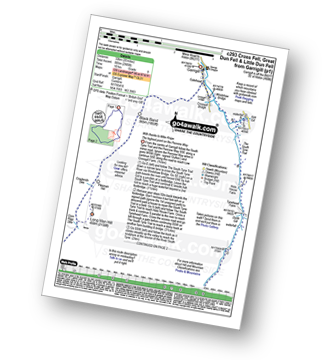
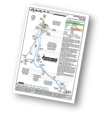
Garrigill - The Pennine Way - The South Tyne Trail - Low Crossgill - Ash Gill - Ashgill Force - Hole House Farm - Tynehead Farm - Tyne Head - River Tees - Dunfell Hush - Great Dun Fell - Little Dun Fell - Cross Fell - Skirwith Fell - Yad Stone - Greg's Hut (bothy) - Backstone Edge (Lambgreen Hills) - Long Man Hill - Meg Moffat's Hill - Black Band - Garrigill
Route Summary:
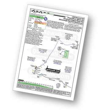
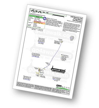
Renwick - Townend - Renwick Fell (Thack Moor) - Watch Hill (Graystone Edge) - Black Fell (Haresceugh Fell) - Little Daffenside - Hartside Height - Hartside Top Cafe (A686) - Ricker Gill - Seavy Sike - Haresceugh - Raven Bridge - Townfoot - Renwick
Route Summary:
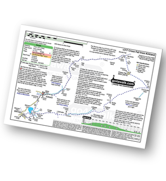
Kirkland - Kirkland Beck - Cocklick Scar - Plylier's Gap - High Cap - Ironwell Band - The Pennine Way - Cross Fell - Crowdundle Head - Tees Head - Sturba Nook - Wildboar Scar - Grumply Hill - Littledale Beck - Cringle Moor - Blencarn - Blencarn Lake - Blencarn Beck - Kirk Hill - Kirkland
Route Summary:
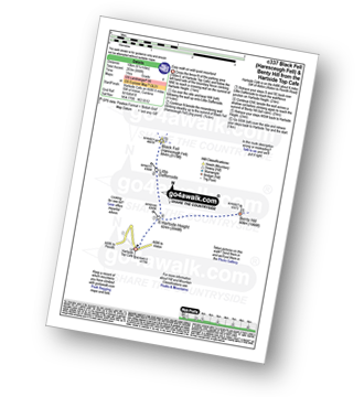
Hartside Top Cafe - Hartside Height - Little Daffenside - Black Fell (Haresceugh Fell) - Little Daffenside - Hartside Height - Benty Hill - Hartside Height - Hartside Top Cafe
Route Summary:
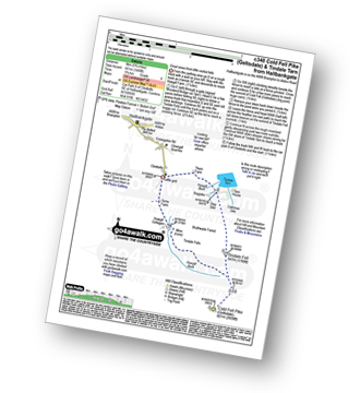
Clesketts - Tortie Farm - Howgill Cottages - Tindale Fells - Howgill Beck - Cold Fell Pike (Geltsdale) - Tindale Fell - Tindale Tarn - Thron Farm - Clesketts
Route Summary:
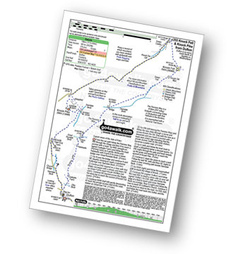
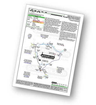
Dufton - The Pennine Way - Coatsyke Farm (Coatsike Farm) - Halsteads - Great Rundale Beck - Cosca Hill - Swindale Beck - Knock Old Man - Knock Fell - Green Castle - Knock Ore Gill - Knock Pike - Swindale Beck - Knock Village - Knock Church - Dufton
Route Summary:
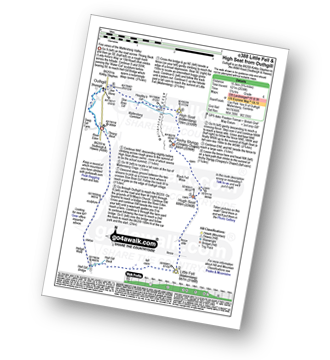
Thrang Beck - The Lady Anne's Way - Water Cut Sculpture - Hell Gill Bridge - Little Fell (Lunds Fell) (Mallerstang) - Hugh Seat - Black Fell Moss - Archy Styrigg (Gregory Chapel) - High Seat (Mallerstang) - Mallerstang Edge - Outhgill - River Eden - Thrang Beck
Route Summary:
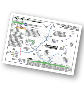
Hilton Town Head - Hilton Beck - Warcop Training Area - Swindale Brow - Swindale Beck - Swindale Edge - Marn Gill - Christy Bank - Siss Gill - Burton Fell - Little Fell (Burton Fell) - Hilton Fell - Arnside Rake - King's Pot - Mickle Fell - Fisher Sike - Maize Beck - Swarth Beck - Master Sike - Murton Fell - Murton Fell (SE Top) - Scordale - Lowfield Hush - Hilton Town Head
Route Summary:
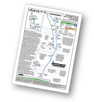
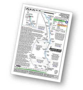
Garrigill - The Pennine Way - The South Tyne Trail - Low Crossgill - Ash Gill - Ashgill Force - Waterfall - Hole House Farm - Tynehead Farm - Tyne Head - Round Hill (Tyne Head) - Noonstones Hill - Dorthgill Farm - Hill House Farm - Lee Houses - Garrigill
Route Summary:
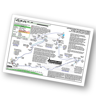
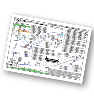
Dufton - Eller Beck - Pusgill House - Great Rundale Beck - Bluethwaite Hill - Threlkeld Side - Brownber Hill - Tossgill Edge - Great Rundale Tarn - Backstone Edge (Dufton Fell) - Narrowgate Beacon - Little Rundale Beck - High Cup Nick - High Cup - The Pennine Way - Narrow Gate Path - Peeping Hill - Bow Hall - Town Head - Dufton
Route Summary:
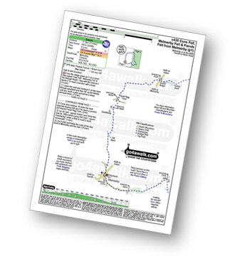
Melmerby - Meikle Awfell - Cuns Fell - Maiden Way (Roman Road) - Meg's Cairn - Melmerby Fell - Knapside Hill - Little Knapside Hill - Fiend's Fell - Twotop Bridge - Hazel Rigg Farm - Gamblesby - Gill Beck - Melmerby
Route Summary:
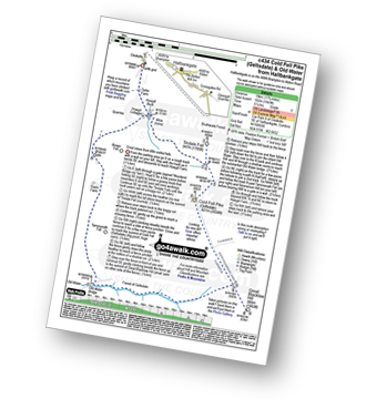
Clesketts - Tortie Farm - Howgill Cottages - Tindale Fells - Howgill Beck - Tindale Fell - Cold Fell Pike (Geltsdale) - Great Blacklaw Hill - Old Water - Old Water Bridge - Gairs Farm - Howgill Cottages - Clesketts
Route Summary:
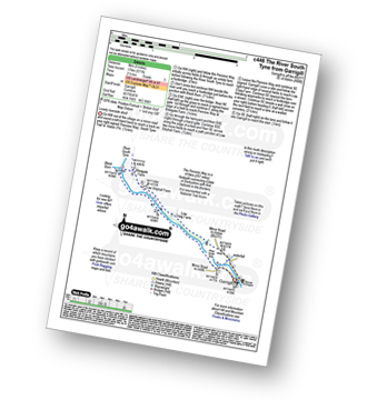
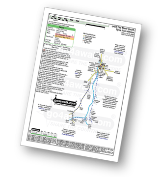
Garrigill - The Pennine Way - The South Tyne Trail - The River South Tyne - Low Sillyhall Farm - Bleagate Farm - Low Cowgap Farm - Low Nest Farm - Brewery Bridge - Alston - Crosslands - Leadgate - Blackburn Bridge - Garrigill
Route Summary:
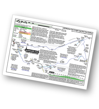
Dufton - The Pennine Way - Town End - Kemplar Bridge - Greenhow Farm - Keisley House - Harbour Flatt Farm - Trundale Gill - Middle Tongue - Murton Fell - Murton Herds - High Cup - High Cup Gill - High Cup Nick - The Pennine Way - Narrow Gate Path - Peeping Hill - Bow Hall - Town Head - Dufton
Route Summary:
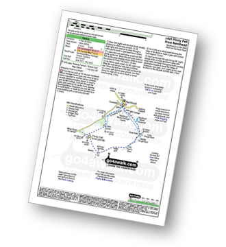
Nenthead - Nenthead Mines Heritage Centre - Shaw Side - Old Carr's Burn - Flinty Fell - Dowgang Hush - Nenthead
Route Summary:
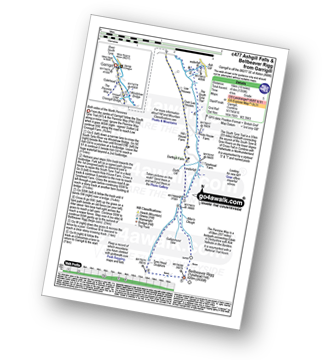
Garrigill - The Pennine Way - The South Tyne Trail - Low Crossgill - Ash Gill - Ashgill Force - Waterfall - Hole House Farm - Tynehead Farm - Allan's Clough - Bellbeaver Rigg (Tynehead Fell) - Tyne Head - Round Hill (Tyne Head) - Noonstones Hill - Dorthgill Farm - Hill House Farm - Lee Houses - Garrigill
Route Summary:
Dufton - The Pennine Way - Eller Beck - Coastsyke Farm (Coatsike Farm) - Hurning Lane - Halsteads - Cosca Hill - Great Rundale Beck - Dufton Pike - Bluethwaite Hill - Threlkeld Side - Brownber Hill - Tossgill Edge - Great Rundale Tarn - Backstone Edge (Dufton Fell) - Narrowgate Beacon - Little Rundale Beck - High Cup Nick - High Cup - The Pennine Way - Narrow Gate Path - Peeping Hill - Bow Hall - Town Head - Dufton
Route Summary:
Garrigill - The Pennine Way - The River South Tyne - Black Burn - Bleagate Farm - Low Sillyhall Farm - Low Craig Farm - Garrigill
Route Summary:
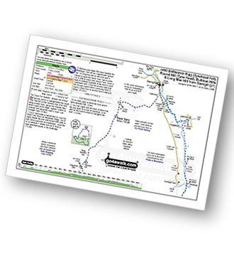
Garrigill - The Pennine Way - The South Tyne Trail - Low Crossgill - Ash Gill - Ashgill Force - Waterfall - Hole House Farm - Tynehead Farm - Allan's Clough - Bellbeaver Rigg (Tynehead Fell) - Tyne Head - Round Hill (Tyne Head) - Crossgill Head - Crossgill Pants - Rake End - Lambgreen Hills - Bullman Hills - Bullman Hills (North Top) - Bullman Sike - Cash Burn - Long Man Hill - Craglands Sike - Pikeman Hill - Meg Moffat's Hill - Black Band - Garrigill
Route Summary:
Dufton - The Pennine Way - Eller Beck - Church Bridge - Knock Church - Swindale Beck - Knock - Cosca Hill - Great Rundale Beck - Pisgill House - Dufton
Route Summary:
Garrigill - The Pennine Way - The South Tyne Trail - Low Crossgill - Ash Gill - Ashgill Force - Waterfall - Hole House Farm - Tynehead Farm - Allan's Clough - Bellbeaver Rigg (Tynehead Fell) - Tyne Head - Garrigill
Route Summary:
Alston - Leadgate - Blackburn Bridge - Bleagate Farm - The Pennine Way - Low Nest Farm - Alston
Route Summary:
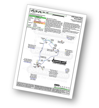
Dufton - The Pennine Way - Eller Beck - Coastsyke Farm (Coatsike Farm) - Hurning Lane - Halsteads - Cosca Hill - Great Rundale Beck - Dufton Pike - Pusgill House - Dufton
Route Summary:
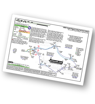
Hilton Town Head - Hilton Beck - Warcop Training Area - Swindale Brow - Swindale Beck - Swindale Edge - Marn Gill - Christy Bank - Siss Gill - Tinside Rigg - Long Fell - Howgill Fold - Cringle Beck - Lycum Sike - East Moor - Hilton Sike - Hilton Town Head
Route Summary:
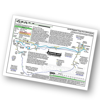
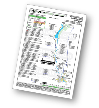
Wolsingham - River Wear - Weardale - The Weardale Way - Ashes House - Towdy Potts - Spence Hill - Harthope - Sunnyside Edge - Elephant Trees - Pikestone Fell - Allotment House - Folly Plantation - Harehope Farm - White Kirkley Farm - Bolihope Burn - Lower Bishopley Farm - Miln House Farm - Bridge End - Frosterley - Weardale - Wolsingham
Route Summary:
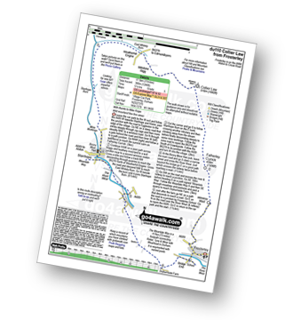
Frosterley - Wireless Mast - Fatherley Currick - Collier Law - Weatherhill Engine - Heathery Burn - Stanhope Burn - Stanhope - River Wear - Stepping Stones - Weardale - The Weardale Way - Dryburnside Farm - Frosterley
Route Summary:
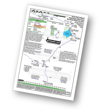
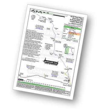
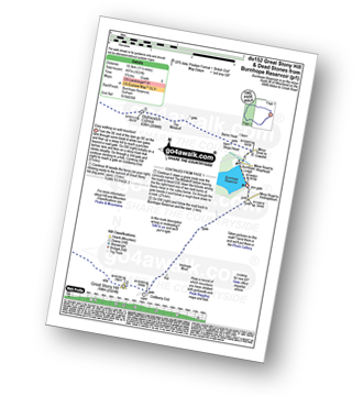
Burnhope Reservoir - Ireshope Moor - Coldberry End - Three Pikes - Coldberry End - Great Stony Hill - Scaud Hill - Redgleam (Harwood Common) - Burnhope Seat - Dead Stones - White Edge (Burnhope Reservoir) - Lamb's Head - Highwatch Currick - The Malakoff - Bents Head - Stripe End - Burnhope Reservoir
Route Summary:
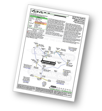
Killhope Cross - Killhope Head - Black Hill - The Dodd - Smallburns Moor - Sunnyside Farm - Coalcleugh Farm - Mufton Hall - Carrshield Moor - Bridge Cleugh - Killhope Law - Killhope Head - Killhope Cross
Route Summary:
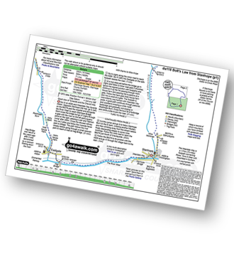
Stanhope - River Wear - Weardale - The Weardale Way - River Wear - Eastgate - Rookhope Burn - Rookhope - C2C Cycle Route - Longlaw End - Bolt's Law (Hunstanworth) - Weatherhill Engine - East Whitely Beck - Stanhope Burn - Stanhope
Route Summary:
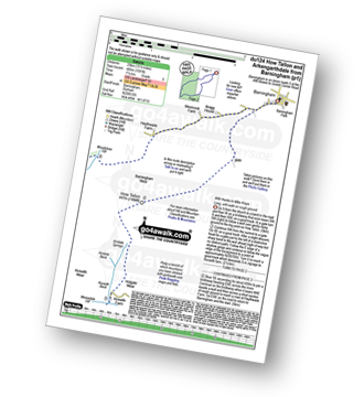
Barningham - Birk Hills Farm - Brown Hill - Cathaw Stoop - Carter Allotment - Badger Way - Badger Way Stoop - How Tallon - How Tallon Gate - How Tallon Ridge - High Moor - Arndale Springs - Frankinshaw How - Holgate Moor - Arndale hole - Kexwith Beck - Kexwith Farm - Moresdale Gill - Moresdale - Moresdale Road - Fair Seat Hill - Moresdale Ridge - Stony Man (St Andrew's Cross) - Booze Moor - Low Moor - Windeg Vein - Little Windeg - Dry Gill Bottom - Shaw Farm - Stang Side - Stang House - Freestone Ridge - Stang Top - Hope Moor - The Stang - Woodcote Gill - Black Hill Gate - Haythwaite Farm - Moorcock Farm - Bragg House - Barningham
Route Summary:
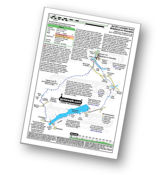
Middleton-in-Teesdale - River Tees - River Lune - Eller Brook - Grassholme Reservoir - Lunedale - The Pennine Way - Crossthwaite Common - Harter Fell (Crossthwaite Common) - River Tees - Middleton-in-Teesdale
Route Summary:
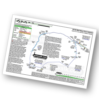
Holwick - Holwick Scars - Rowton Beck - Green Fell - Bink Moss - Dry Gill - Hagworm Hill - Howden Moss - Black Beck - White Rigg - Holwick
Route Summary:
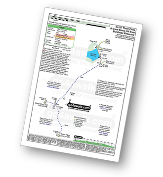
Burnhope Reservoir - Ireshope Moor - Coldberry End - Three Pikes - Coldberry End - Great Stony Hill - Coldberry End - Ireshope Moor - Burnhope Reservoir
Route Summary:
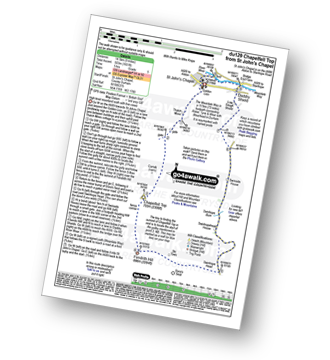
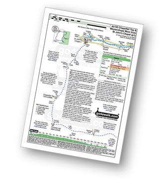
St John's Chapel - Thatch Mires - Chapelfell Top - Fendrith Hill - Swinhope Moor - Dora's Seat - Swinhope Head - Swinside House - Daddry Shield - River Wear - Weardale - The Weardale Way - St John's Chapel
Route Summary:
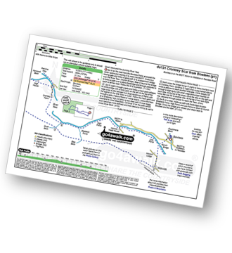
Bowlees - Wynch Bridge - River Tees - Holwick - Low Currick Rigg - Blea Beck - Whiteholm Bank - Dry Beck - Skyer Beck - Birk Rigg - Thistle Green - White Well Green - River Tees - Fox Earths - Raven Scar - Cronkley Scar - Green Hill - Cronkley Pasture - High House - The Pennine Way - Cronkley Farm - Bracken Rigg - Bleabeck Force - High Force - Saur Hill Bridge - Low Force - Wynch Bridge - Bowlees
Route Summary:
Langdon Beck - Tarn Hole - Tarn Hole Edge - Three Pikes - Grasshill Common - Causeway Hill - Coldberry Edge - Great Stony Hill - Scaud Hill - Redgleam (Harwood Common) - Swallow Hole - Holdenhurth Band - Herdship Fell - Viewing Hill - Backside Fell Bothy - West Common - Touting Hill - Cow Green Reservoir - Widdybank Fell - Langdon Beck
Route Summary:
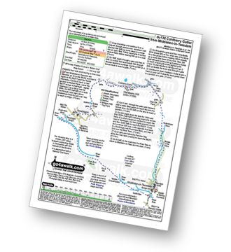
Middleton-in-Teesdale - Hudeshope Beck - Skears Lime Kilns - Club Gill Farm - Coldberry Mine - Coldberry Gutter - Hardberry Hill - Stable Edge - Newbiggin - Newbiggin Bridge - The Pennine Way - Park End Wood - Knott Hill - Middle Crossthwaite - The River Tees - Middleton-in-Teesdale
Route Summary:
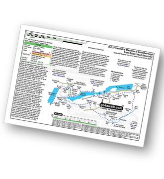
Balderhead Reservoir - High Birk Hat Farm - The Pennine Way - Hannah's Meadow - Birk Hat Farm - Blackton Reservoir - Baldsersdale - Willoughby Hall - Scoon Bank - West Brisco - Coproal Hill - East Brisco - How Beck - Lathe Haw - Lathehaw Rigg - Goldsborough Rigg - Goldsborough - East Friar House - Mawmon Sike - Balckton Grange - Balderhead Reservoir
Route Summary:
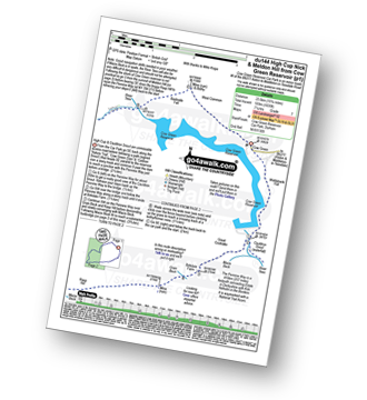
Cow Green Reservoir - Widdybank Fell - Cauldron Snout - The Pennine Way - Birkdale Farm - Grain Beck - Rasp Hill - Maize Beck - High Cup - High Cup Nick - Stake Beck - Meldon Hill (Dufton Fell) - Force Burn - River Tees - Backside Fell Bothy - Cow Green Reservoir
Route Summary:
St John's Chapel - Thatch Mires - Chapelfell Top - Fendrith Hill - Swinhope Moor - Dora's Seat - Swinhope Head - Westernhope Moor - Black Hill (Westernhope Moor) - Littlewood Farm - Brotherlee - Shield - River Wear - Weardale - The Weardale Way - Westgate - Daddry - St John's Chapel
Route Summary:
Burnhope Reservoir - Ireshope Moor - Coldberry End - Great Stony Hill - Scaud Hill - Redgleam (Harwood Common) - Burnhope Seat - Dead Stones - White Edge (Burnhope Reservoir) - Lamb's Head - Highwatch Currick - The Malakoff - Bents Head - Stripe End - Burnhope Reservoir
Route Summary:
Wolsingham - Waskerley Beck - Holywood House - Bael Hill House - Thistlewood Farm - Wolsingham North Moor - Tunstall Reservoir - Bishop Oak - Wolsingham
Route Summary:
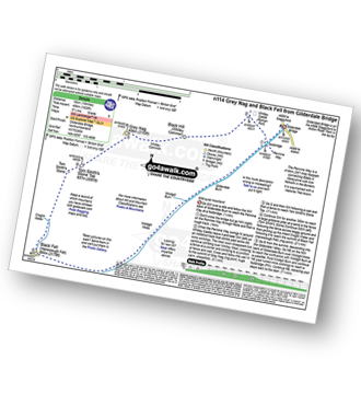
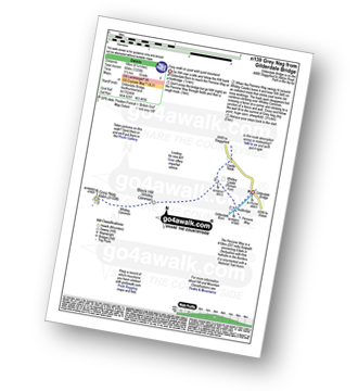
Gilderdale Bridge - The Pennine Way - Black Hill (Whitley Common) - Grey Nag - Tom Smith's Stone Top - Tom Smith's Stone - Croglin Water - Haresceugh Fell - Black Fell (Haresceugh Fell) - Woldgill Moss - Gilderdale Burn - Gilderdale Bridge
Route Summary:
Gilderdale Bridge - Gilderdale Burn - The Pennine Way - Whitley Castle - Black Hill (Whitley Common) - Grey Nag - Black Hill (Whitley Common) - Whitley Castle - The Pennine Way - Gilderdale Burn - Gilderdale Bridge
See this list of walks, routes & maps in:
Grade Order |
Length Order |
Time Order |
Walk Number or Start Location Order
NB. To reverse (toggle) this order, click Grade Order again
To contribute to go4awalk.com or to contact us about anything at all - see Talk To Us. For help see Help.
go4awalk.com and go4awalk.co.uk are registered trademarks of TMDH Limited.
Copyright © 2000-2024 TMDH Limited. All rights reserved.
Copyright | Terms & Conditions | Privacy Statement
A - Z
Walks
Home
Log On/Accounts
Photo Gallery
Walk Ideas and Collections
Fell Facts
Places to Stay
Hill Skills
Walking Questions and Answers
Your Stories
News
Competitions
Product Reviews/Gear Tests
Walking Gear Guides
Peaks and Mountains
Peak Bagging
Find New Walking Friends
Camping
GPS Waypoints for Walking
Contents
Walk Search
Talk to us
go4awalk.com Help
Free example walks
Newsletter

